British Columbia StormWatcher
Snowing now up top at 1 of 18 resorts. Freezing level around 5,900 ft.
Next 24 hours: 1 ski resort at SnowFactorSnowFactor rates how likely snow is at the top of each resort over the next 24 hours, from 0 to 10. It is SnowGrabber's own calculation, built from Open-Meteo wet bulb and precipitation forecasts and each mountain's height. 7 or more: snow likely up high. 0: not this time. 7 or more
91 cams below, snowing resorts first. The page refreshes every 15 minutes.
Next 24 hours: 1 ski resort at SnowFactorSnowFactor rates how likely snow is at the top of each resort over the next 24 hours, from 0 to 10. It is SnowGrabber's own calculation, built from Open-Meteo wet bulb and precipitation forecasts and each mountain's height. 7 or more: snow likely up high. 0: not this time. 7 or more
91 cams below, snowing resorts first. The page refreshes every 15 minutes.
| Resort | Nowat top elev. | Top Elev. | Freezing level now | Forecast Lowest Snow Level Next 24h | Snow at Top Elev.? | SnowFactorSnowFactor rates how likely snow is at the top of each resort over the next 24 hours, from 0 to 10. It is SnowGrabber's own calculation, built from Open-Meteo wet bulb and precipitation forecasts and each mountain's height. 7 or more: snow likely up high. 0: not this time. | Snow, last 24 htop · base | Next 24 htop · base |
|---|---|---|---|---|---|---|---|---|
| Apex Mountain | 26°F Snow | 7,152 ft | Summit above the freezing level: below freezing up top, cold enough for snow.5,900 ft | 2,400 ft | in range | 4 | 1.0 inbase 0.8 in | Snow 0.3 inbase snow 0.5 in |
| Bear Mountain Ski Hill | 25°F Partly Cloudy | 2,979 ft | Summit above the freezing level: below freezing up top, cold enough for snow.2,400 ft | -2,300 ft | cold enough, dry | 0 | 1.3 inbase 1.3 in | Drybase dry |
| Big White | 26°F Mainly Clear | 7,497 ft | Summit above the freezing level: below freezing up top, cold enough for snow.6,300 ft | 2,200 ft | cold enough, dry | 1 | 0.6 inbase 0.4 in | Drybase dry |
| Cypress Mountain | 35°F Clear | 4,724 ft | Summit below the freezing level: above freezing all the way to the top, rain if anything falls.6,300 ft | 2,400 ft | cold enough, dry | 0 | Drybase dry | |
| Fernie | 22°F Partly Cloudy | 7,000 ft | Summit above the freezing level: below freezing up top, cold enough for snow.4,700 ft | 1,600 ft | cold enough, dry | 1 | Drybase dry | |
| Grouse Mountain | 37°F Clear | 4,100 ft | Summit below the freezing level: above freezing all the way to the top, rain if anything falls.6,200 ft | 2,200 ft | cold enough, dry | 0 | Drybase dry | |
| Kicking Horse Mountain Resort | 21°F Mainly Clear | 7,920 ft | Summit above the freezing level: below freezing up top, cold enough for snow.4,800 ft | 800 ft | cold enough, dry | 0 | Drybase dry | |
| Kimberley | 29°F Overcast | 6,500 ft | Summit above the freezing level: below freezing up top, cold enough for snow.5,600 ft | 1,600 ft | cold enough, dry | 1 | Drybase dry | |
| Manning Park | 27°F Mainly Clear | 5,868 ft | Summit above the freezing level: below freezing up top, cold enough for snow.5,600 ft | 1,800 ft | in range | 10 | 0.9 inbase 0.8 in | Snow 0.7 inbase snow 0.4 in |
| Mount Washington | 32°F Clear | 5,215 ft | Summit below the freezing level: above freezing all the way to the top, rain if anything falls.6,000 ft | 1,400 ft | cold enough, dry | 0 | Drybase dry | |
| Panorama | 23°F Overcast | 7,759 ft | Summit above the freezing level: below freezing up top, cold enough for snow.5,500 ft | 1,800 ft | cold enough, dry | 0 | Drybase dry | |
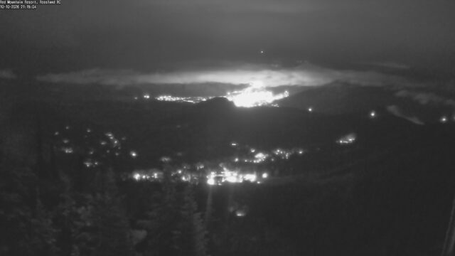
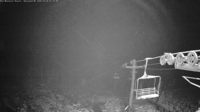
| Red Mountain | 28°F Overcast | 6,807 ft | Summit above the freezing level: below freezing up top, cold enough for snow.6,000 ft | 1,600 ft | in range | 2 | 0.2 in | Drybase dry |
| Revelstoke | 24°F Overcast | 7,300 ft | Summit above the freezing level: below freezing up top, cold enough for snow.5,800 ft | 2,100 ft | cold enough, dry | 0 | Drybase dry | |
| Sasquatch Mountain | 34°F Clear | 4,321 ft | Summit below the freezing level: above freezing all the way to the top, rain if anything falls.5,900 ft | 2,300 ft | cold enough, dry | 0 | Drybase dry | |
| Silver Star | 30°F Mainly Clear | 6,283 ft | Summit below the freezing level: above freezing all the way to the top, rain if anything falls.6,300 ft | 1,800 ft | cold enough, dry | 0 | 1.8 inbase 1.7 in | Drybase dry |
| Sun Peaks Resort | 31°F Mainly Clear | 6,867 ft | Summit above the freezing level: below freezing up top, cold enough for snow.6,300 ft | 700 ft | cold enough, dry | 0 | Drybase dry | |
| Whistler Blackcomb | 23°F Clear | 7,494 ft | Summit above the freezing level: below freezing up top, cold enough for snow.5,600 ft | 2,800 ft | cold enough, dry | 0 | Drybase dry | |
| Whitewater | 26°F Partly Cloudy | 6,768 ft | Summit above the freezing level: below freezing up top, cold enough for snow.5,800 ft | 1,600 ft | cold enough, dry | 1 | 0.4 inbase 0.3 in | Drybase dry |
Every cam, snowing resorts first
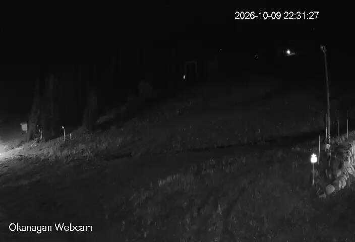

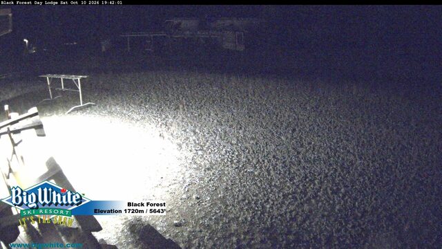
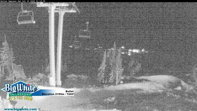
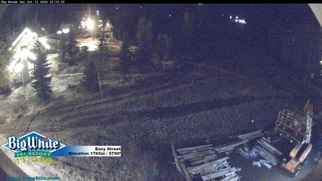
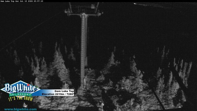
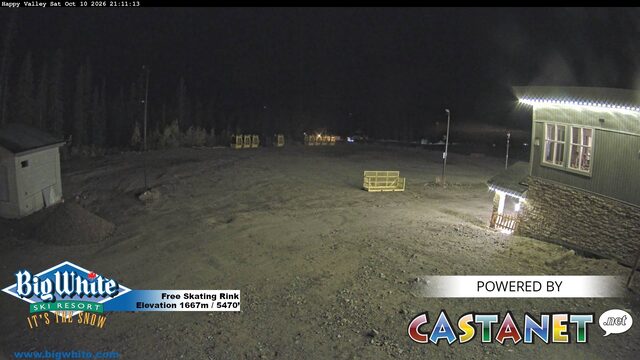
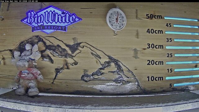
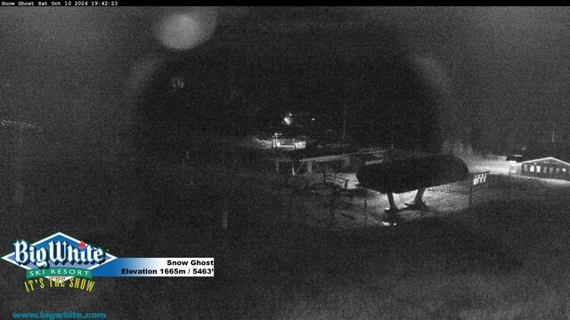
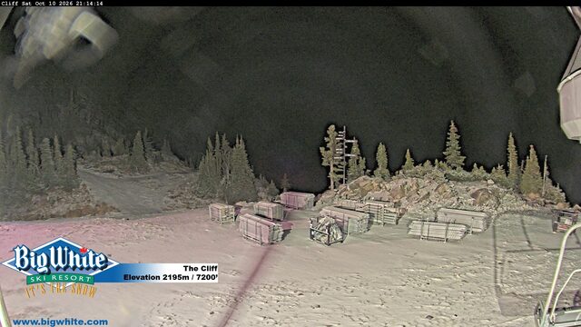
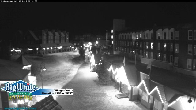
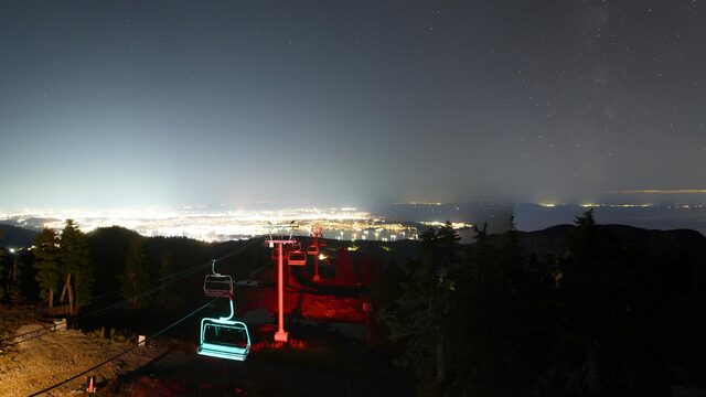
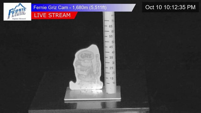
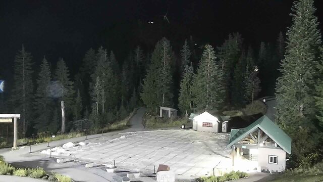
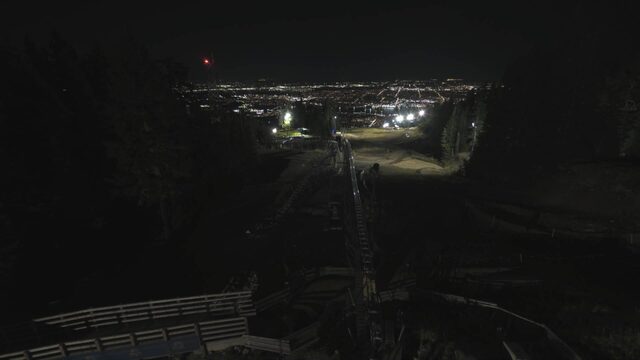
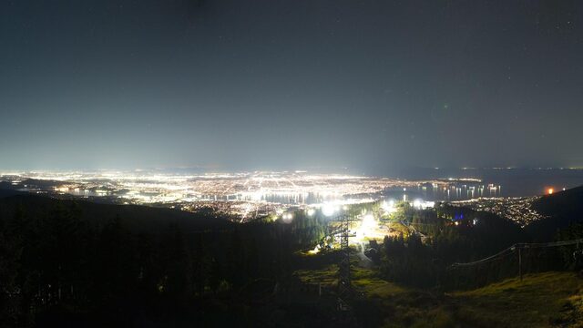
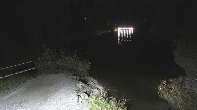
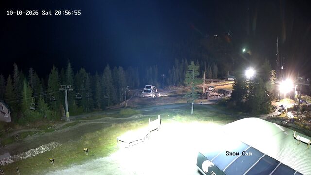
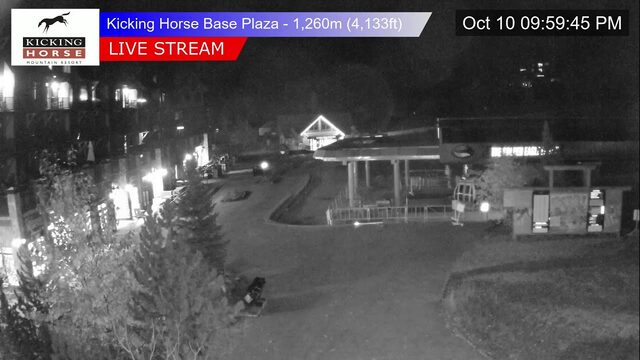
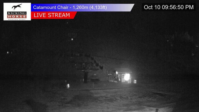
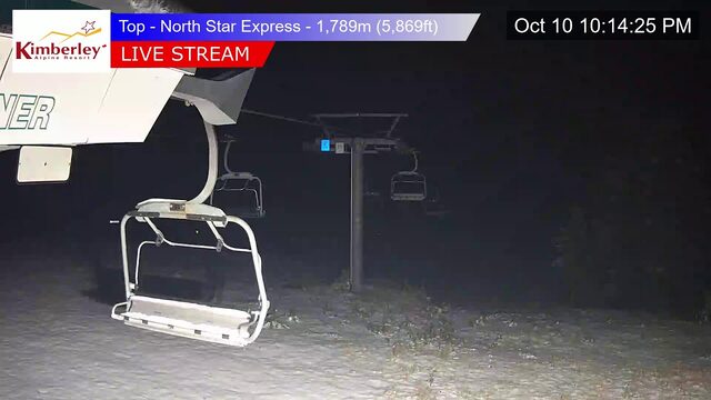
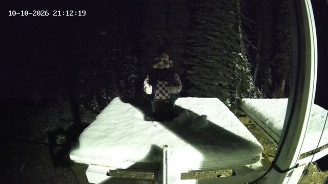
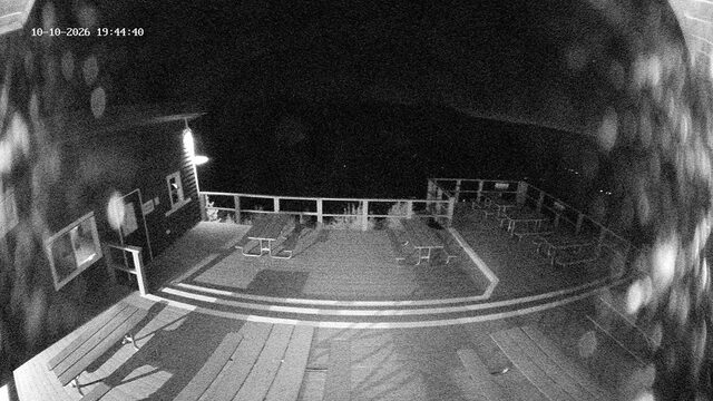
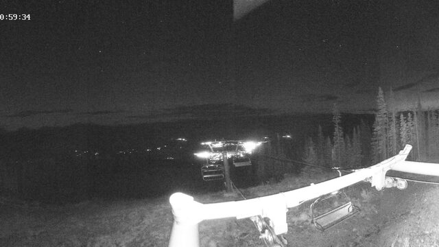
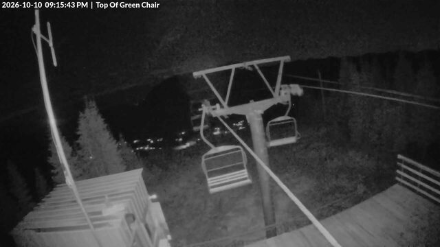
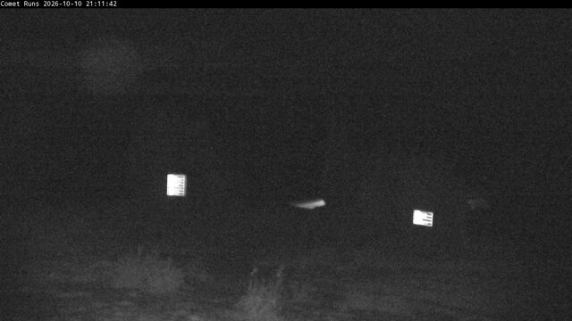
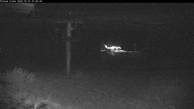
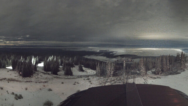
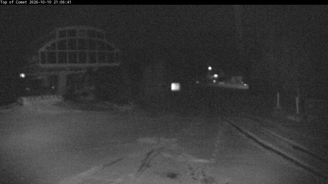
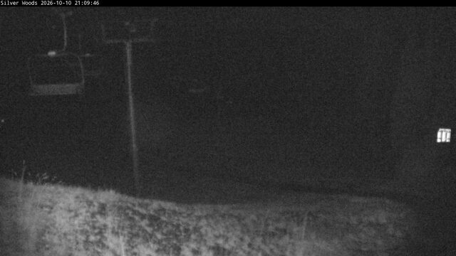
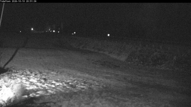
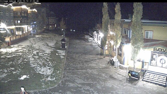
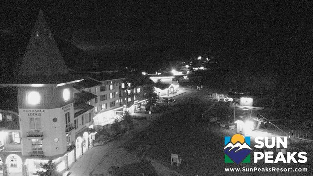
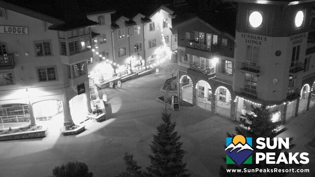
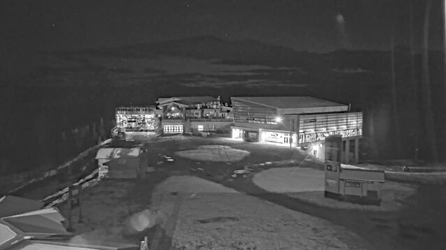
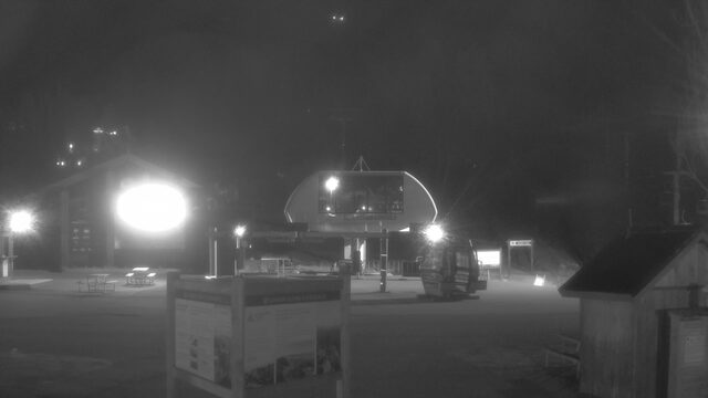
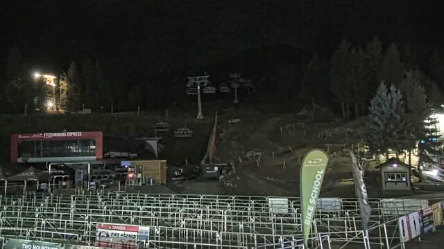
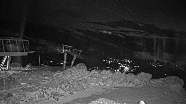
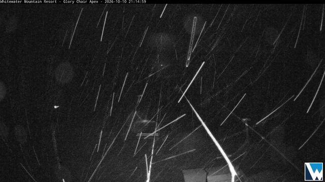
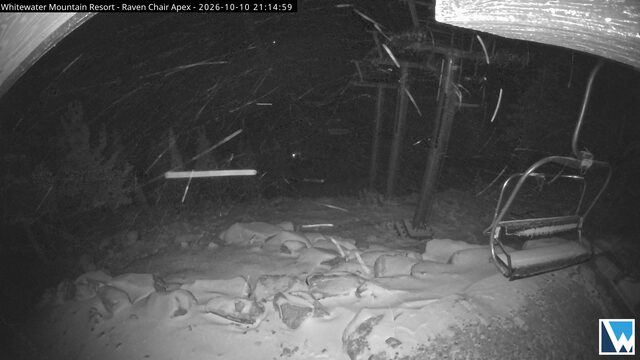
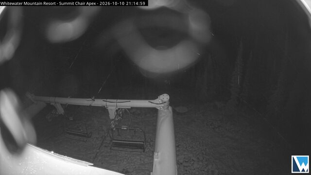
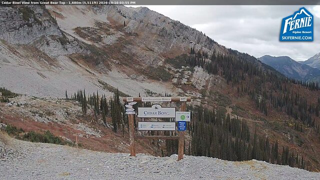
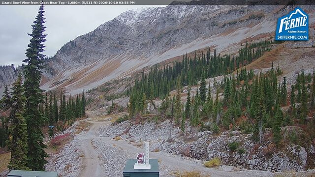
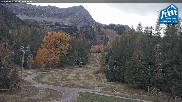
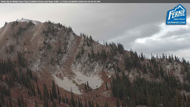
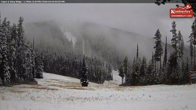
SnowFactor rates how likely snow is at the top of each resort over the next 24 hours, from 0 to 10. It is SnowGrabber's own calculation, built from Open-Meteo wet bulb and precipitation forecasts and each mountain's height. 7 or more: snow likely up high. 0: not this time.
Resort weather is modelled (Open-Meteo), not measured. Maps and satellite are copies of NWS and NOAA images, refreshed every 30 minutes. The freezing level and snow level are roughly where rain turns to snow. The cams show what actually happened.