StormWatcher Colorado storm cams and snow line
Drag to turn. Heights shown 3× so the ranges read. Snow level plane: lowest NWS snow level in the next 24 hours, middle of 100 resorts. Snow on the ground: NOAA NOHRSC snow analysis, today. Radar NOAA/NWS; on past days, the IEM NEXRAD mosaic at the time of the morning images. Terrain from open elevation data (Mapzen Terrarium, AWS).
| Resort | Weather nowat the top | Freezing levelnow | Lowest snow next 24 hNWS forecast | SG SnowFactorSnowFactor rates how likely snow is at the top of each resort over the next 24 hours, from 0 to 10. It is SnowGrabber's own calculation, built from NWS forecast data and each mountain's height. 7 or more: snow likely up high. 0: not this time.next 24 h | SG MakeFactorMakeFactor rates the snowmaking window at each resort's base area each night, 6 pm to 9 am, from 0 to 10. It counts the hours at 28°F wet bulb or colder and how cold they get: 7 or more is prime, 4 to 6 good, 1 to 3 marginal. It says the weather allows snowmaking, not that a resort is making snow. SnowGrabber's own calculation, from Open-Meteo hourly wet bulb.tonight | Snow last 24 hat the top | Snow next 24 hNWS forecast |
|---|---|---|---|---|---|---|---|
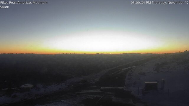
| Pikes Peak summitCO High Point · 14,115 ft | 24°FClear | Summit above the freezing level: below freezing from 11,900 ft up, cold enough for snow up top.11,900 ft | Snow level reaches 7,300 ft at its lowest in the next 24 hours: cold enough for snow from there up.7,300 ft | 0 | – | Dry | |
| Durangotop 10,822 ft | 35°FClear | Summit below the freezing level: above freezing all the way to the top, rain if anything falls.13,000 ft | Snow level drops below the base in the next 24 hours, to 7,500 ft: cold enough for snow top to bottom.7,500 ft | 2 | 2 | – | Dry |
| Telluridetop 12,570 ft | 33°FClear | Summit below the freezing level: above freezing all the way to the top, rain if anything falls.13,000 ft | Snow level drops below the base in the next 24 hours, to 7,300 ft: cold enough for snow top to bottom.7,300 ft | 1 | 2 | – | Dry |
| A-Basintop 12,472 ft | 31°FClear | Below freezing at the top, cold enough for snow. The higher 0°C level is a warm layer aloft, above the mountain.13,100 ftwarm layer aloft | Snow level drops below the base in the next 24 hours, to 7,100 ft: cold enough for snow top to bottom.7,100 ft | 0 | 10 | – | Dry |
| Aspentop 12,510 ft | 32°FClear | Below freezing at the top, cold enough for snow. The higher 0°C level is a warm layer aloft, above the mountain.13,300 ftwarm layer aloft | Snow level drops below the base in the next 24 hours, to 7,200 ft: cold enough for snow top to bottom.7,200 ft | 0 | 2 | – | Dry |
| Beaver Creektop 11,440 ft | 35°FClear | Summit below the freezing level: above freezing all the way to the top, rain if anything falls.13,100 ft | Snow level drops below the base in the next 24 hours, to 6,700 ft: cold enough for snow top to bottom.6,700 ft | 0 | 1 | – | Dry |
| Boulder Nordictop 5,400 ft | 57°FClear | Summit below the freezing level: above freezing all the way to the top, rain if anything falls.13,000 ft | Snow level stays above the top in the next 24 hours, 7,600 ft at its lowest: too warm for snow up top.7,600 ft | 0 | – | Dry | |
| Breckenridgetop 12,840 ft | Copper Mtn station, 12,048 ft 36°F · wet bulb 27° · wind 7 ktKCCU · NOAA Aviation Weather CenterClear |
Below freezing at the top, cold enough for snow. The higher 0°C level is a warm layer aloft, above the mountain.13,200 ftwarm layer aloft | Snow level drops below the base in the next 24 hours, to 7,000 ft: cold enough for snow top to bottom.7,000 ft | 0 | 3 | – | Dry |
| Coopertop 11,700 ft | 34°FClear | Summit below the freezing level: above freezing all the way to the top, rain if anything falls.13,200 ft | Snow level drops below the base in the next 24 hours, to 7,000 ft: cold enough for snow top to bottom.7,000 ft | 0 | – | Dry | |
| Coppertop 12,313 ft | Copper Mtn station, 12,048 ft 36°F · wet bulb 27° · wind 7 ktKCCU · NOAA Aviation Weather CenterClear |
Below freezing at the top, cold enough for snow. The higher 0°C level is a warm layer aloft, above the mountain.13,100 ftwarm layer aloft | Snow level drops below the base in the next 24 hours, to 7,100 ft: cold enough for snow top to bottom.7,100 ft | 0 | 10 | – | Dry |
| Crested Buttetop 12,162 ft | Butte SNOTEL, 10,190 ft snow depth 2 inNRCS SNOTEL 380:CO:SNTLClear |
Summit below the freezing level: above freezing all the way to the top, rain if anything falls.13,300 ft | Snow level drops below the base in the next 24 hours, to 7,000 ft: cold enough for snow top to bottom.7,000 ft | 0 | 0 | – | Dry |
| Devil's Thumbtop 8,524 ft | 45°FClear | Summit below the freezing level: above freezing all the way to the top, rain if anything falls.13,000 ft | Snow level drops below the base in the next 24 hours, to 6,400 ft: cold enough for snow top to bottom.6,400 ft | 0 | – | Dry | |
| Eldoratop 10,800 ft | 36°FClear | Summit below the freezing level: above freezing all the way to the top, rain if anything falls.12,700 ft | Snow level drops below the base in the next 24 hours, to 6,900 ft: cold enough for snow top to bottom.6,900 ft | 0 | 0 | – | Dry |
| Frisco Nordictop 9,400 ft | 43°FClear | Summit below the freezing level: above freezing all the way to the top, rain if anything falls.13,200 ft | Snow level drops below the base in the next 24 hours, to 6,700 ft: cold enough for snow top to bottom.6,700 ft | 0 | 4 | – | Dry |
| Granby Ranchtop 9,202 ft | Granby station, 8,202 ft 52°F · wet bulb 39° · wind 0 ktKGNB · NOAA Aviation Weather CenterClear |
Summit below the freezing level: above freezing all the way to the top, rain if anything falls.13,000 ft | Snow level drops below the base in the next 24 hours, to 6,200 ft: cold enough for snow top to bottom.6,200 ft | 0 | 4 | – | Dry |
| Grand Lake Nordictop 8,399 ft | 44°FClear | Summit below the freezing level: above freezing all the way to the top, rain if anything falls.12,600 ft | Snow level drops below the base in the next 24 hours, to 6,500 ft: cold enough for snow top to bottom.6,500 ft | 0 | – | Dry | |
| Keystonetop 12,408 ft | 31°FClear | Below freezing at the top, cold enough for snow. The higher 0°C level is a warm layer aloft, above the mountain.13,200 ftwarm layer aloft | Snow level drops below the base in the next 24 hours, to 7,000 ft: cold enough for snow top to bottom.7,000 ft | 0 | 9 | – | Dry |
| Lovelandtop 12,697 ft | Loveland Basin SNOTEL, 11,410 ft snow depth 3 inNRCS SNOTEL 602:CO:SNTLClear |
Below freezing at the top, cold enough for snow. The higher 0°C level is a warm layer aloft, above the mountain.13,200 ftwarm layer aloft | Snow level drops below the base in the next 24 hours, to 7,100 ft: cold enough for snow top to bottom.7,100 ft | 0 | 9 | – | Dry |
| Monarchtop 11,952 ft | Porphyry Creek SNOTEL, 10,790 ft snow depth 6 inNRCS SNOTEL 701:CO:SNTLClear |
Summit below the freezing level: above freezing all the way to the top, rain if anything falls.13,200 ft | Snow level drops below the base in the next 24 hours, to 7,300 ft: cold enough for snow top to bottom.7,300 ft | 0 | – | Dry | |
| Powderhorntop 9,850 ft | 39°FClear | Summit below the freezing level: above freezing all the way to the top, rain if anything falls.13,400 ft | Snow level drops below the base in the next 24 hours, to 7,500 ft: cold enough for snow top to bottom.7,500 ft | 0 | 0 | – | Dry |
| Snow Mountain Ranchtop 8,695 ft | 45°FClear | Summit below the freezing level: above freezing all the way to the top, rain if anything falls.13,100 ft | Snow level drops below the base in the next 24 hours, to 6,300 ft: cold enough for snow top to bottom.6,300 ft | 0 | – | Dry | |
| Steamboattop 10,568 ft | 35°FClear | Summit below the freezing level: above freezing all the way to the top, rain if anything falls.13,100 ft | Snow level drops below the base in the next 24 hours, to 7,100 ft: cold enough for snow top to bottom.7,100 ft | 0 | 0 | – | Dry |
| Sunlighttop 9,895 ft | Sunlight Peak station, 10,594 ft 41°F · wet bulb 31°K5SM · NOAA Aviation Weather CenterClear |
Summit below the freezing level: above freezing all the way to the top, rain if anything falls.13,200 ft | Snow level drops below the base in the next 24 hours, to 7,200 ft: cold enough for snow top to bottom.7,200 ft | 0 | 0 | – | Dry |
| Tennessee Passtop 10,401 ft | 39°FClear | Summit below the freezing level: above freezing all the way to the top, rain if anything falls.13,200 ft | Snow level drops below the base in the next 24 hours, to 7,000 ft: cold enough for snow top to bottom.7,000 ft | 0 | – | Dry | |
| Vailtop 11,570 ft | 34°FClear | Summit below the freezing level: above freezing all the way to the top, rain if anything falls.13,100 ft | Snow level drops below the base in the next 24 hours, to 6,900 ft: cold enough for snow top to bottom.6,900 ft | 0 | 8 | – | Dry |
| Winter Parktop 12,060 ft | Berthoud Pass station, 12,481 ft 32°F · wet bulb 25° · wind 4 ktK0CO · NOAA Aviation Weather CenterClear |
Below freezing at the top, cold enough for snow. The higher 0°C level is a warm layer aloft, above the mountain.13,100 ftwarm layer aloft | Snow level drops below the base in the next 24 hours, to 6,900 ft: cold enough for snow top to bottom.6,900 ft | 0 | 7 | – | Dry |
| Wolf Creektop 11,904 ft | Wolf Creek Pass station, 11,713 ft 36°F · wet bulb 30° · wind 3 ktKCPW · NOAA Aviation Weather Center Wolf Creek Summit SNOTEL, 10,930 ft snow depth 19 inNRCS SNOTEL 874:CO:SNTLClear |
Summit below the freezing level: above freezing all the way to the top, rain if anything falls.13,000 ft | Snow level drops below the base in the next 24 hours, to 7,700 ft: cold enough for snow top to bottom.7,700 ft | 0 | 1 | – | Dry |
Overview
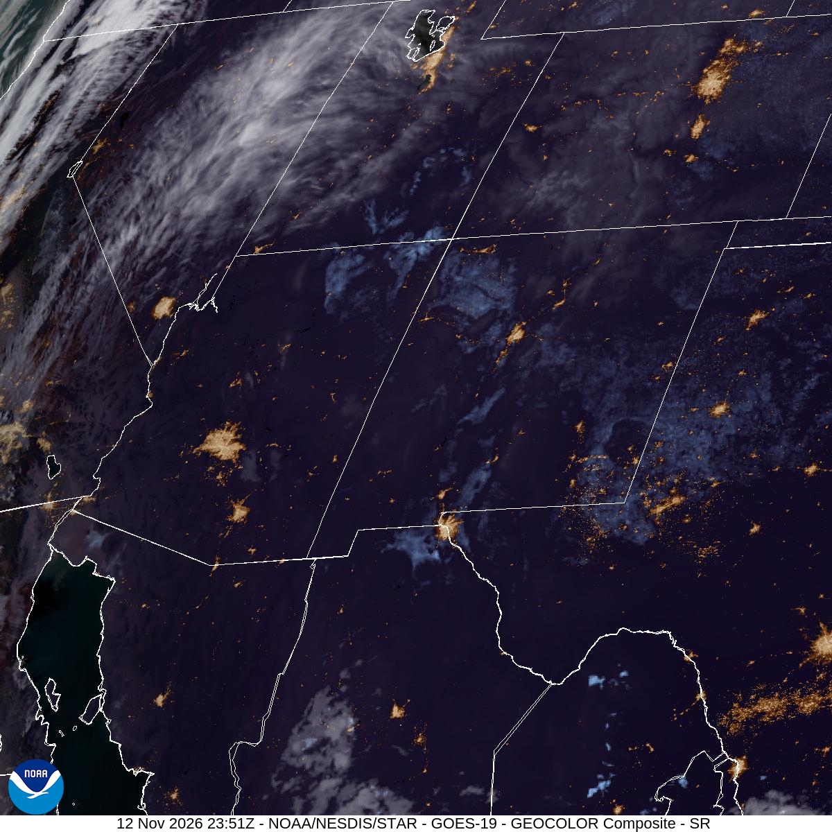
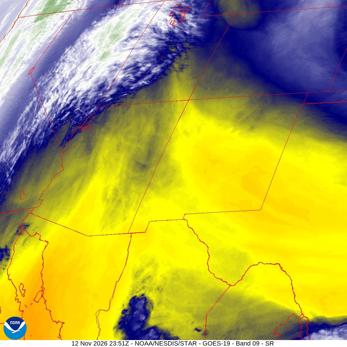
NWS 72-hour snowfall: low end, expected, high end
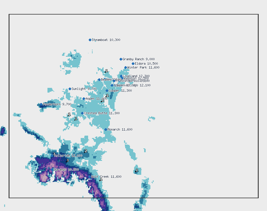
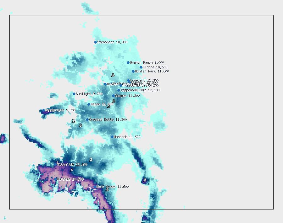
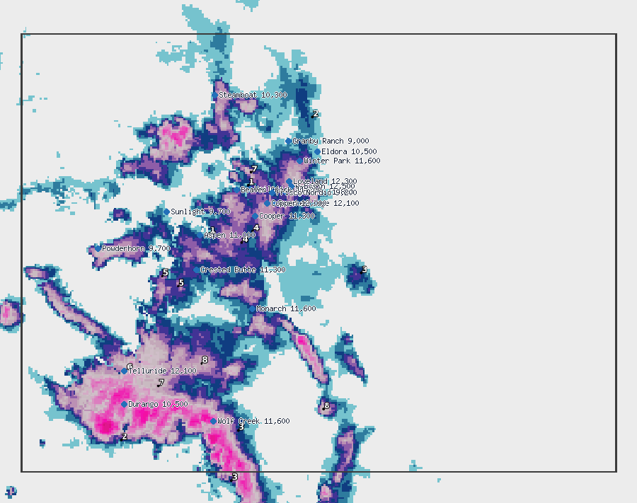
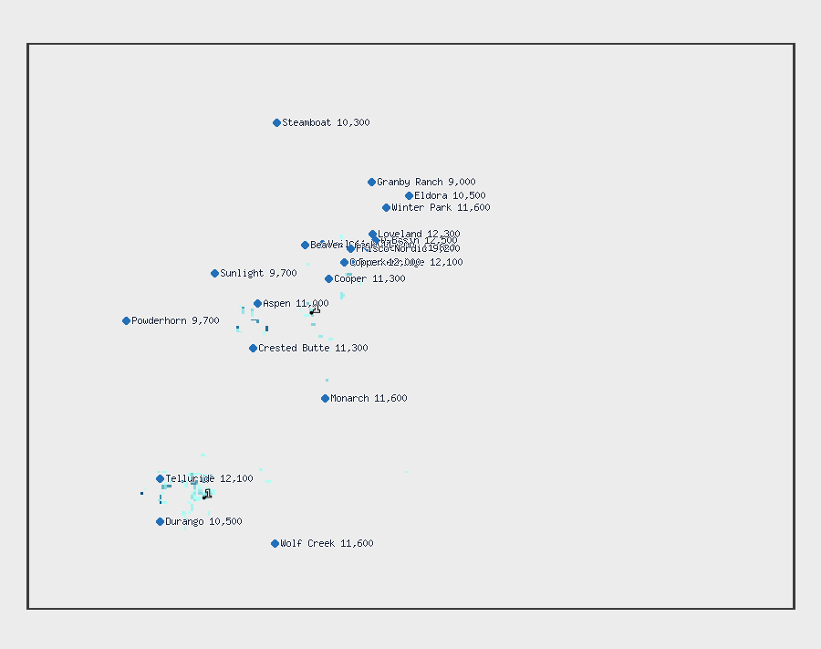
NWS 6-hour snow, next 24 hours
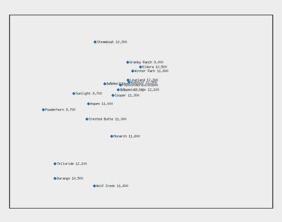
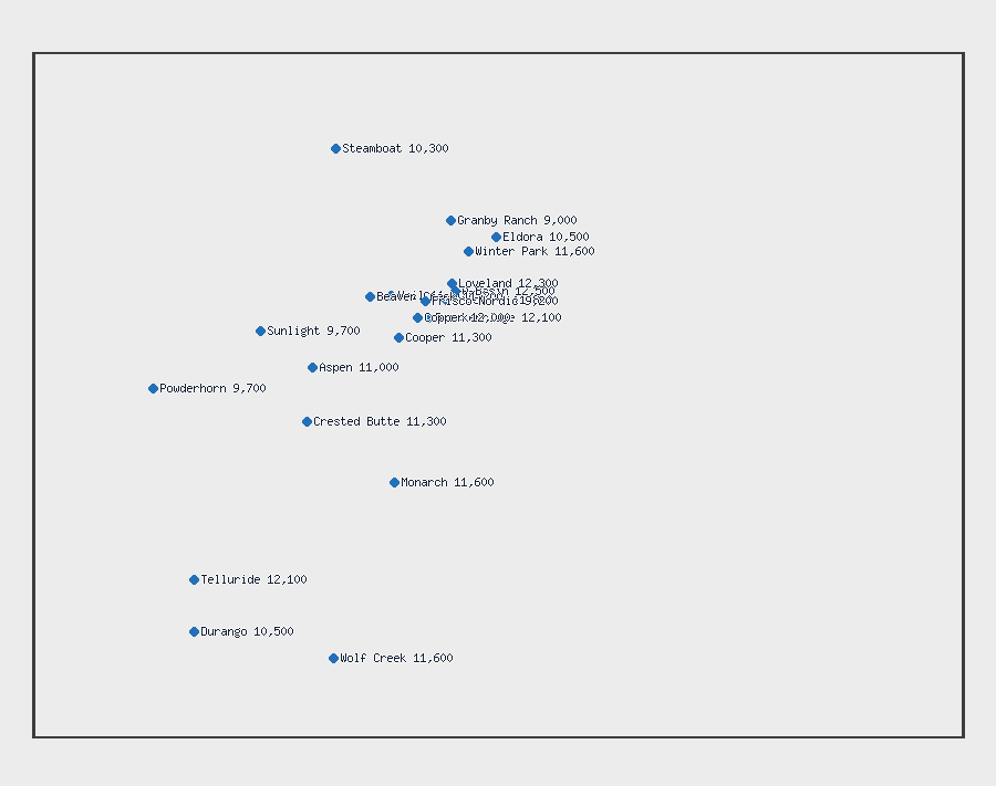
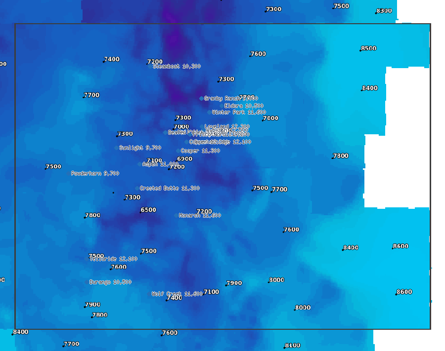
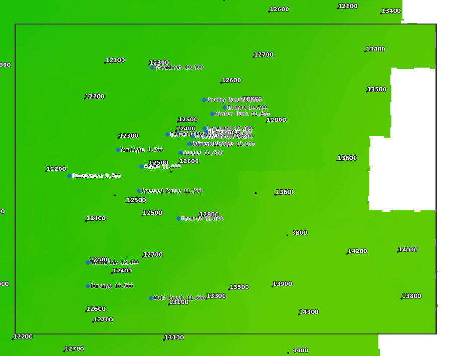
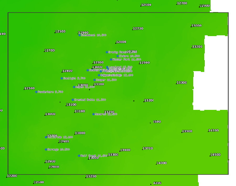
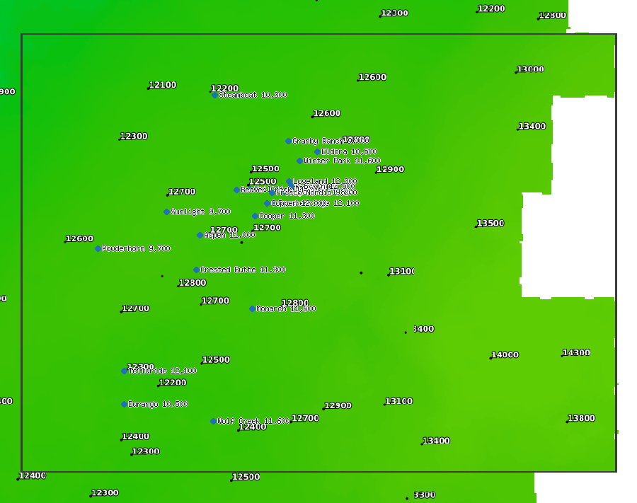
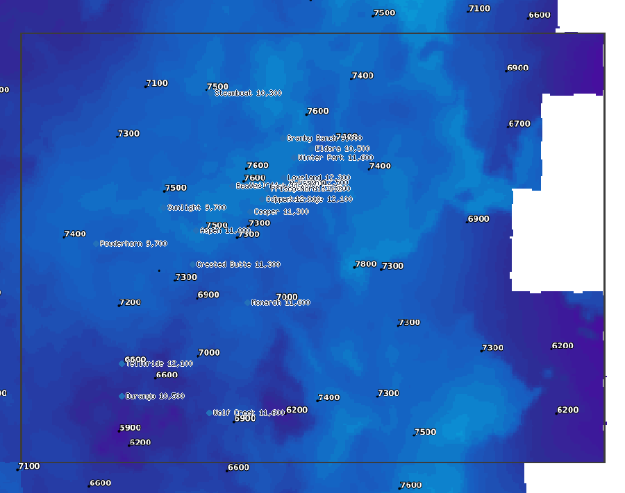
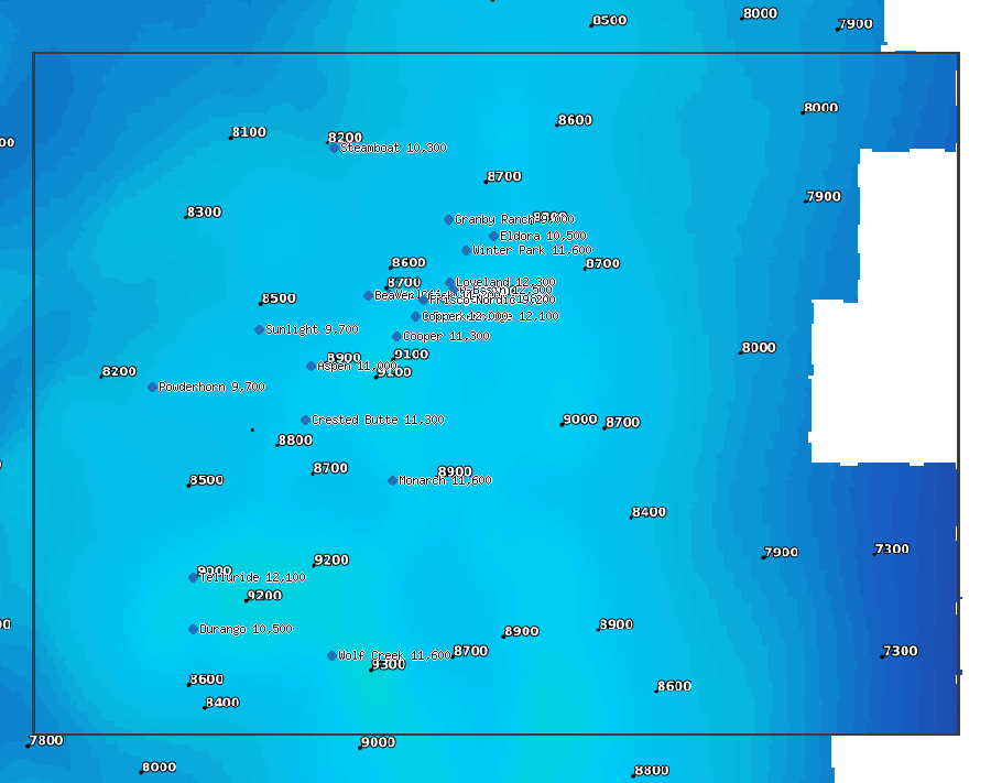
Snow level ahead, every 12 hours (NWS)
NWS 6-hour precipitation, next 24 hours (rain or snow, as water)
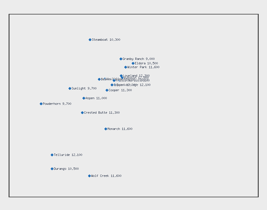
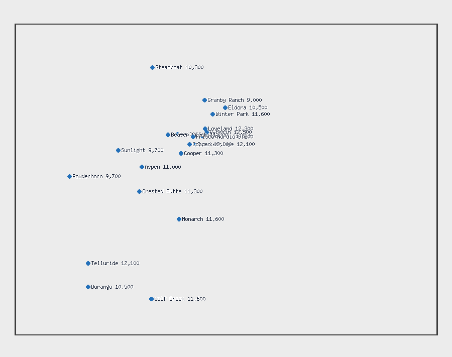
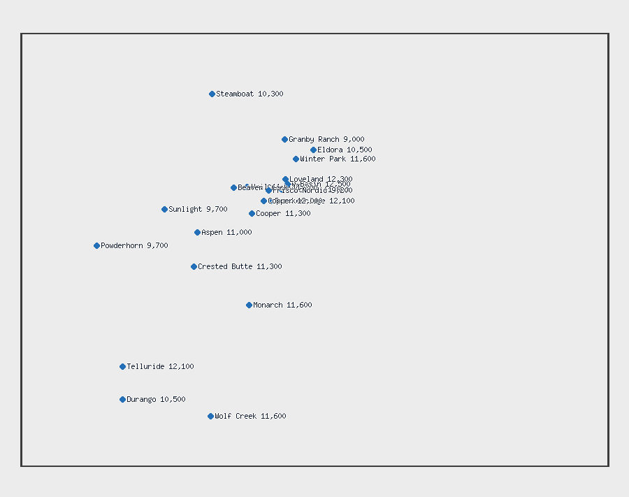
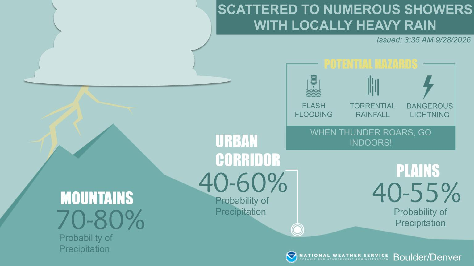
NWS forecast office weather stories
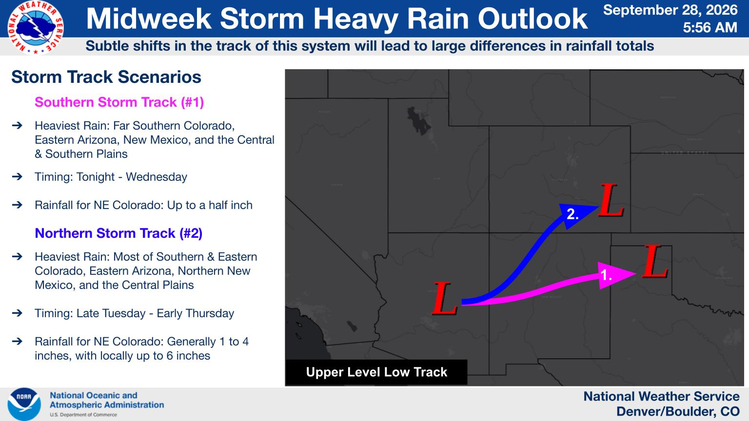
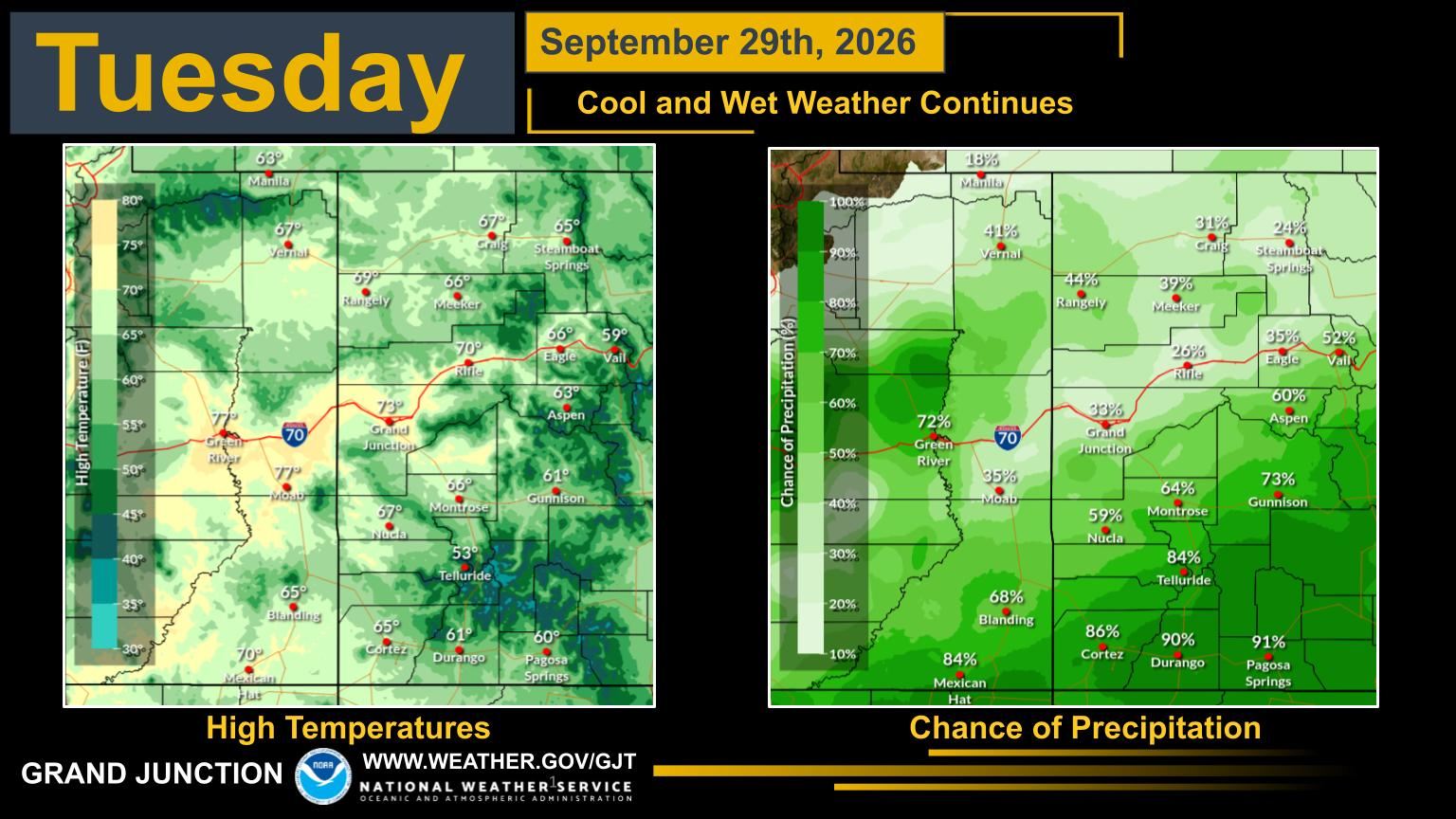
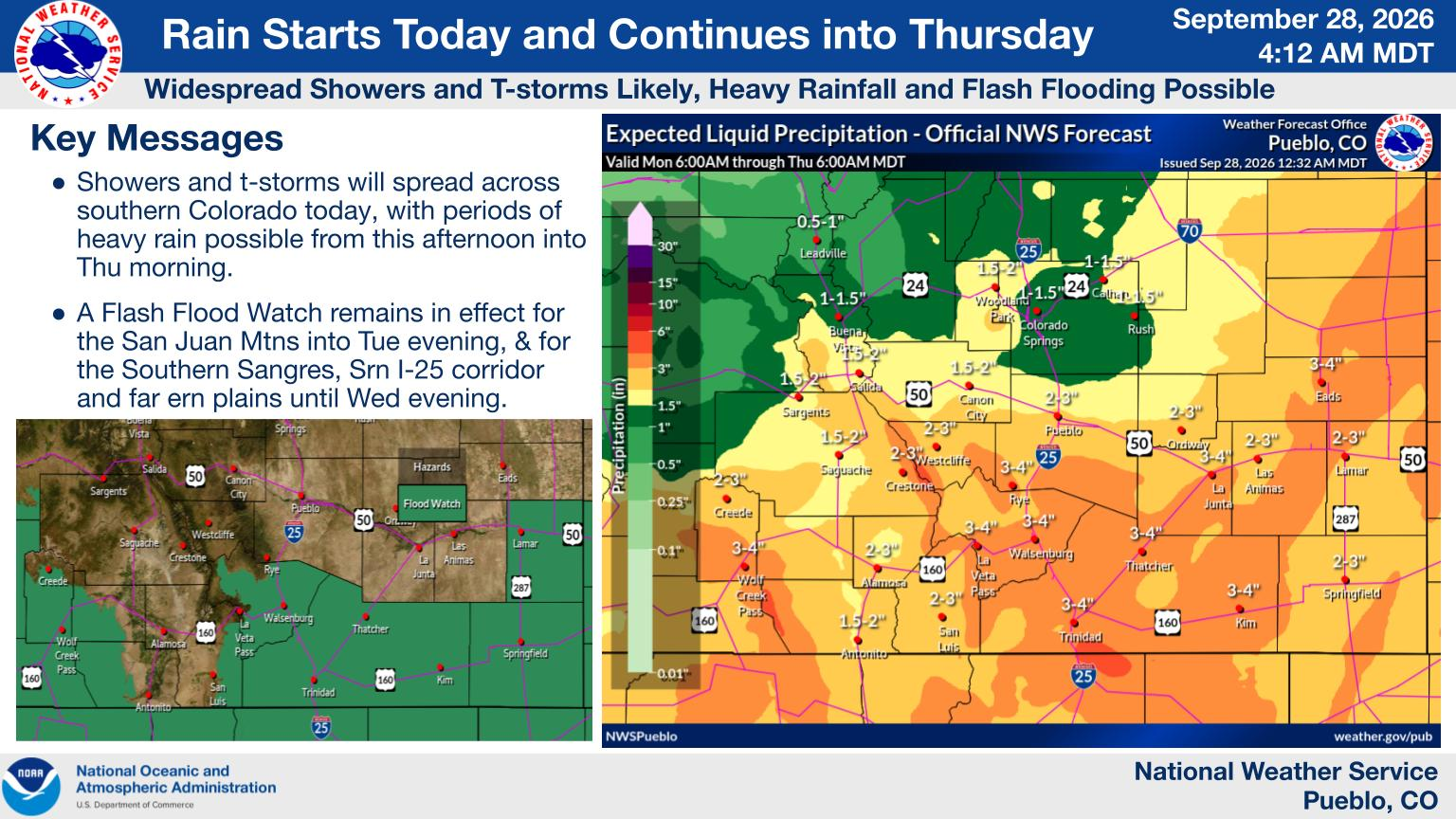
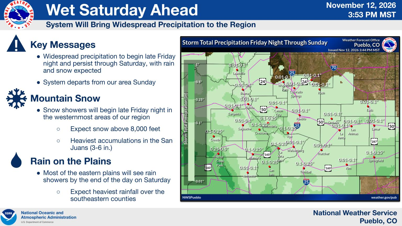
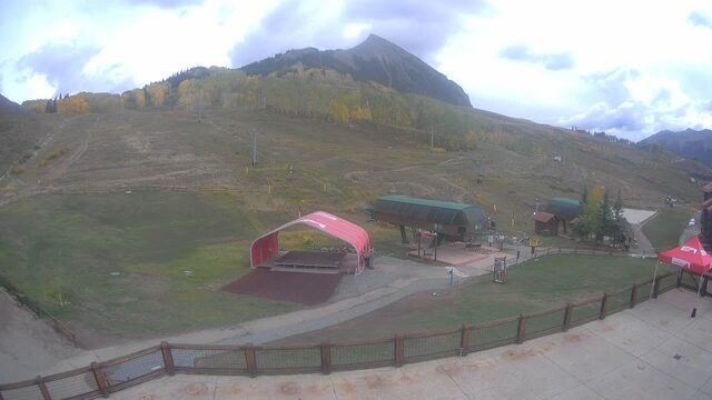
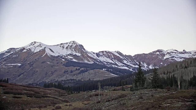
Every cam, snowing resorts first
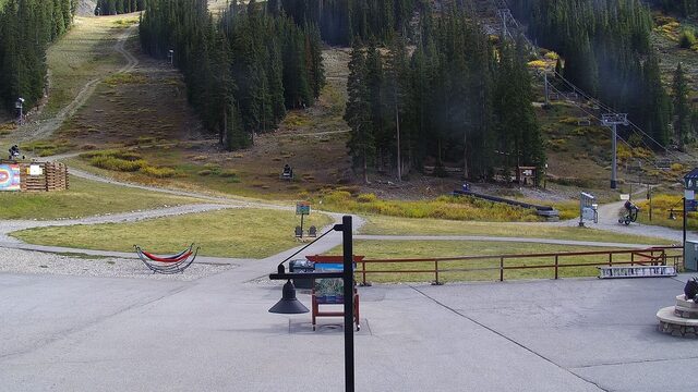
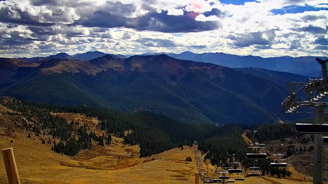
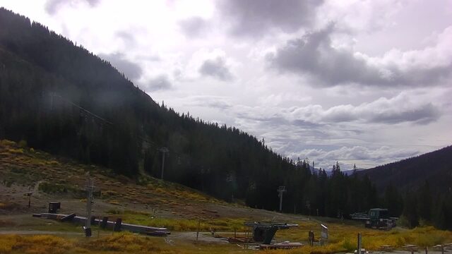
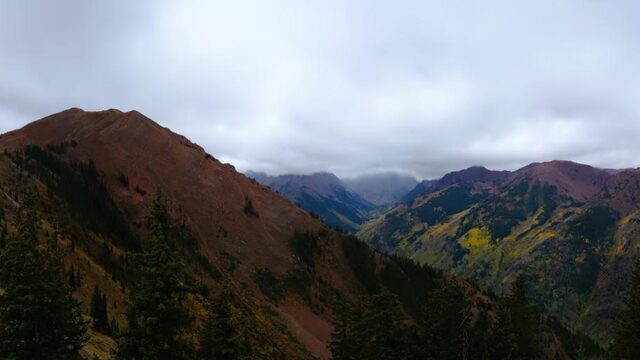
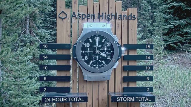
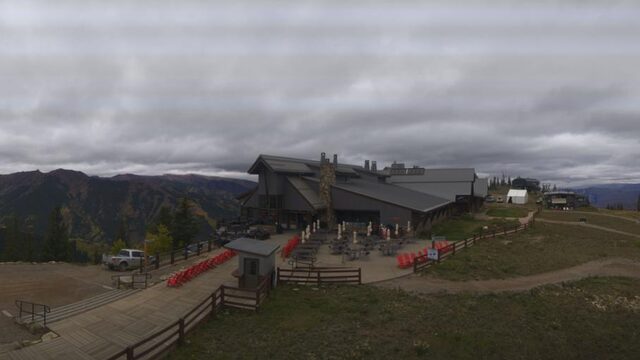
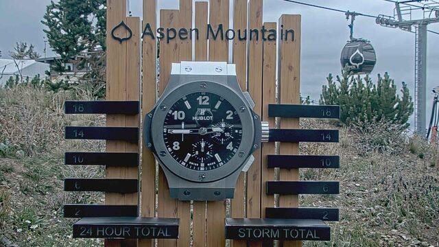
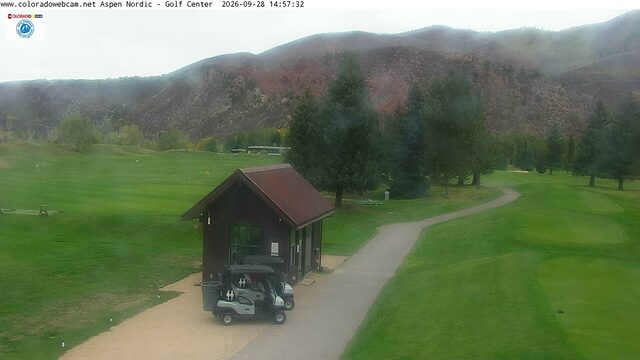
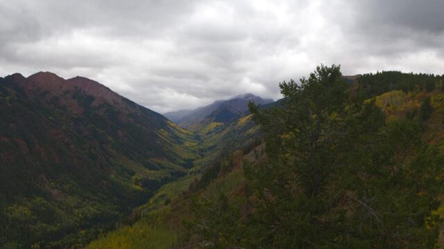
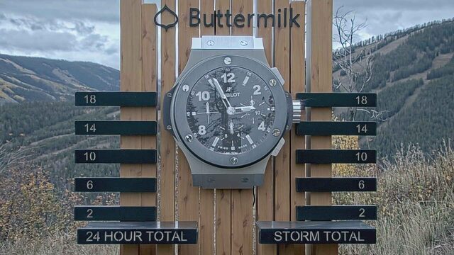
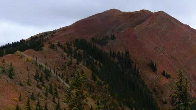
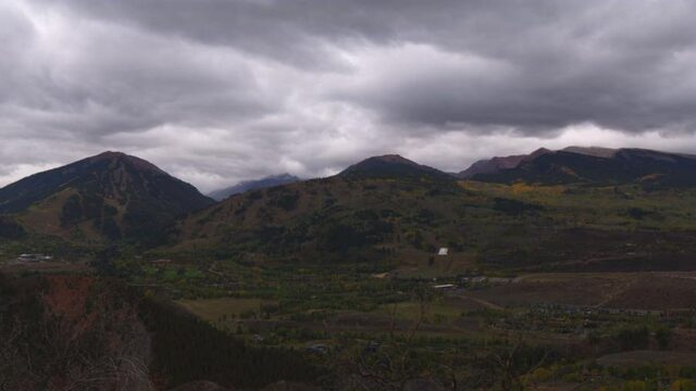
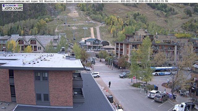
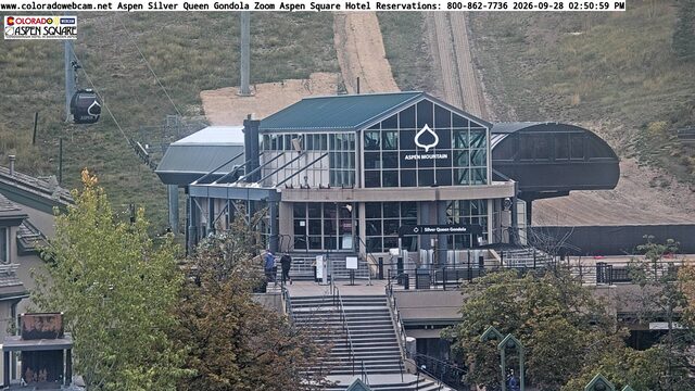
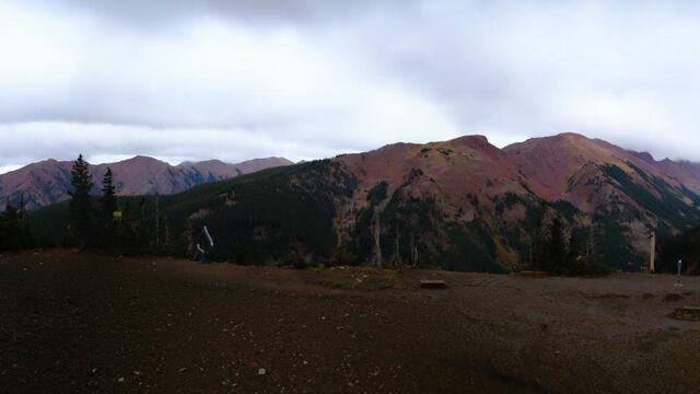
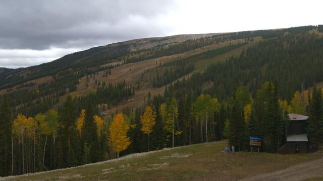
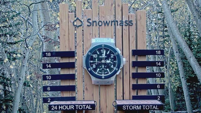
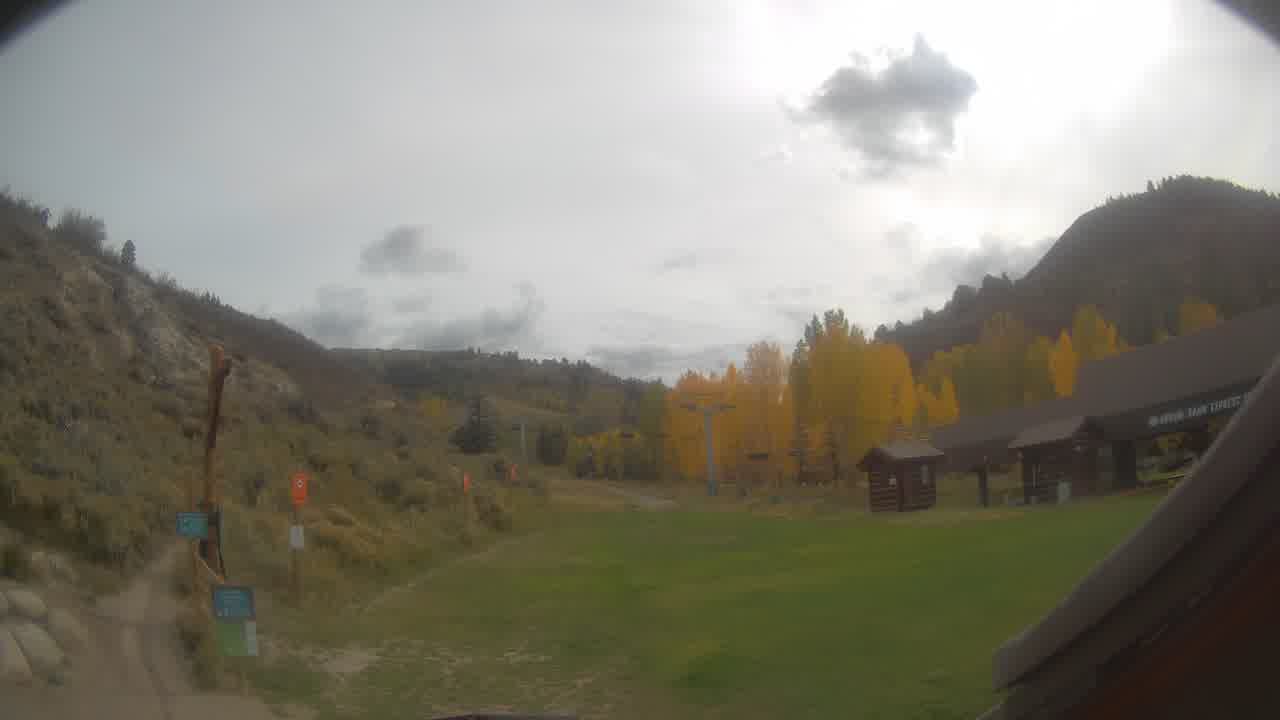
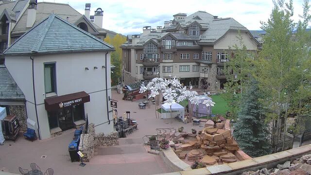
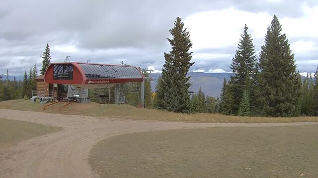
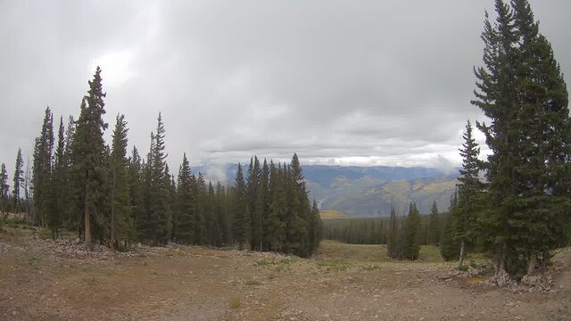
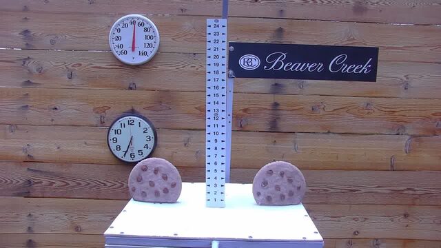
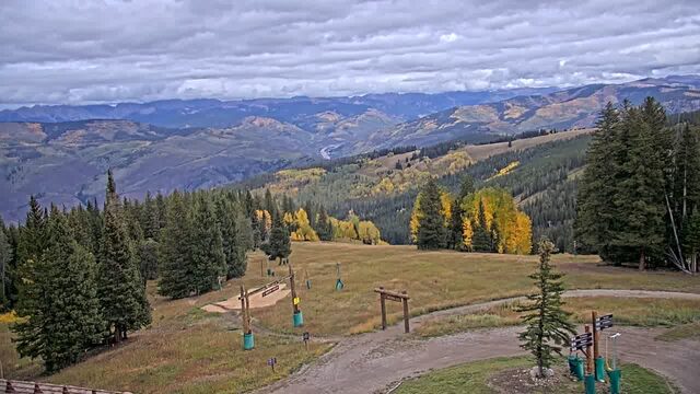
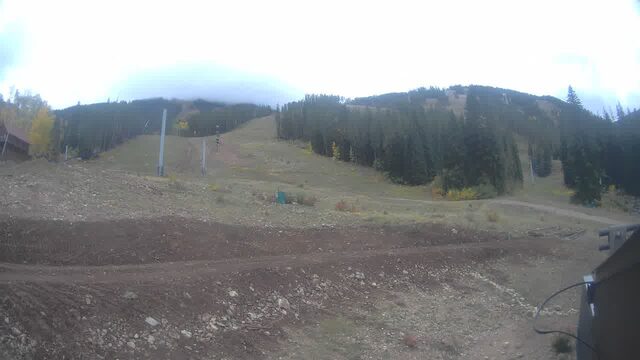
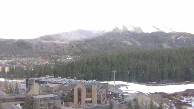



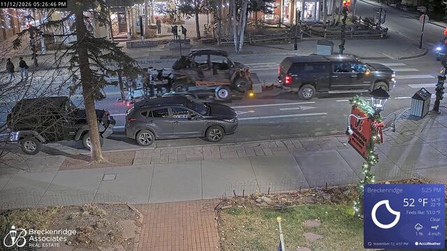
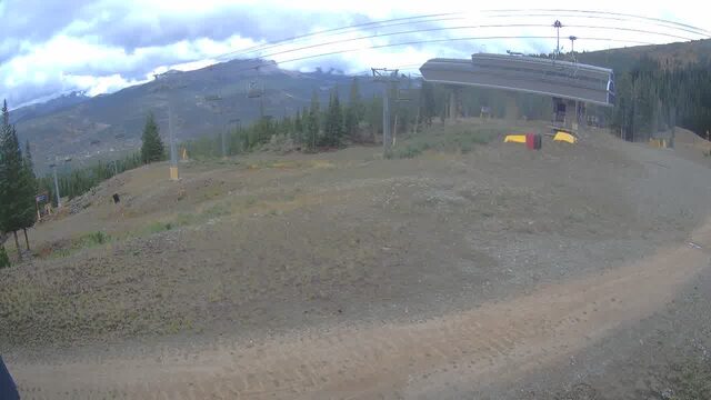
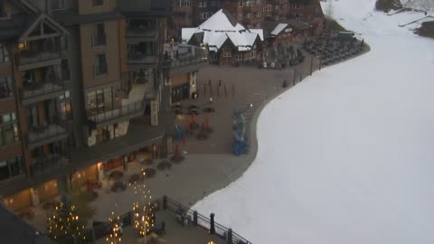
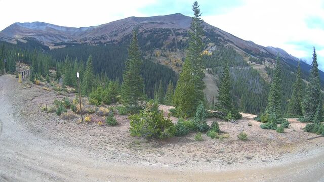
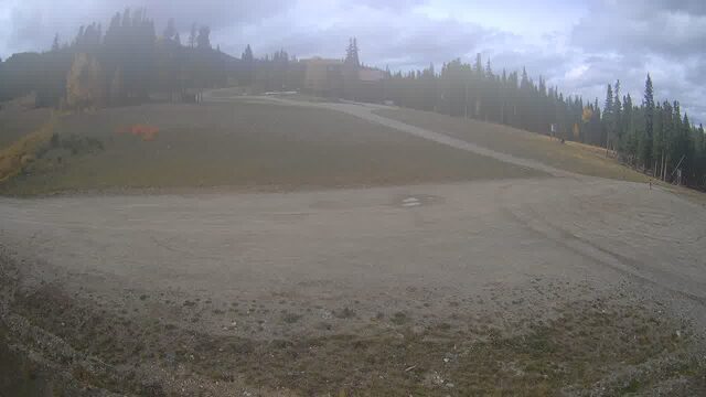
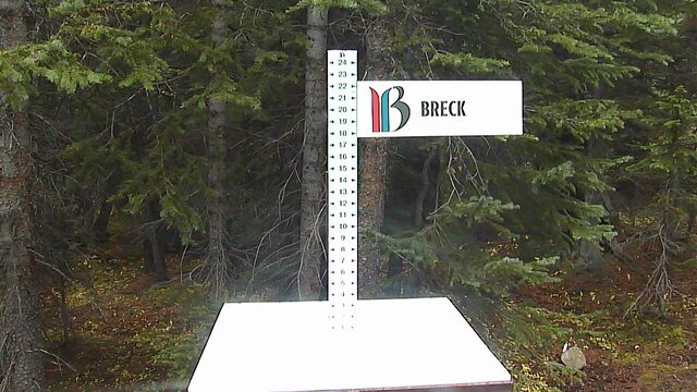
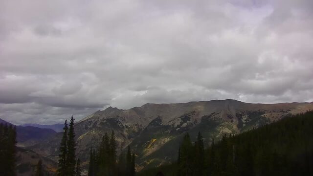
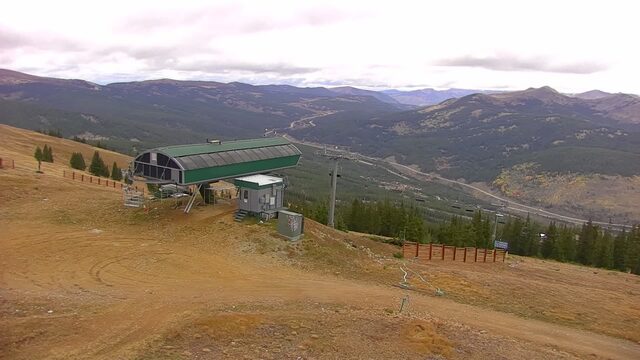
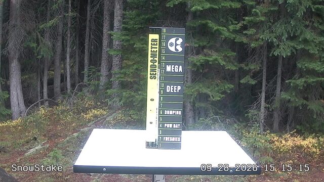
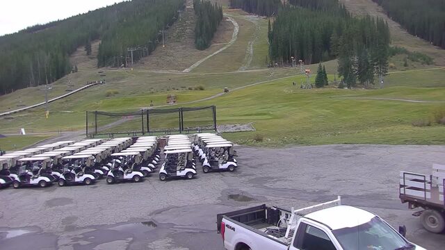
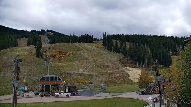
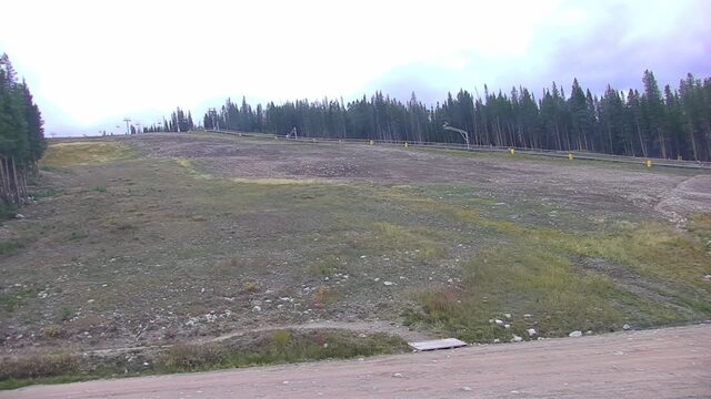
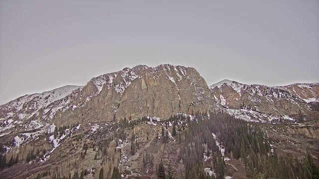
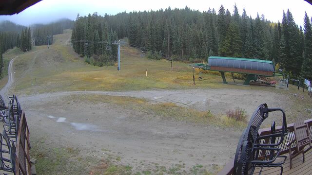
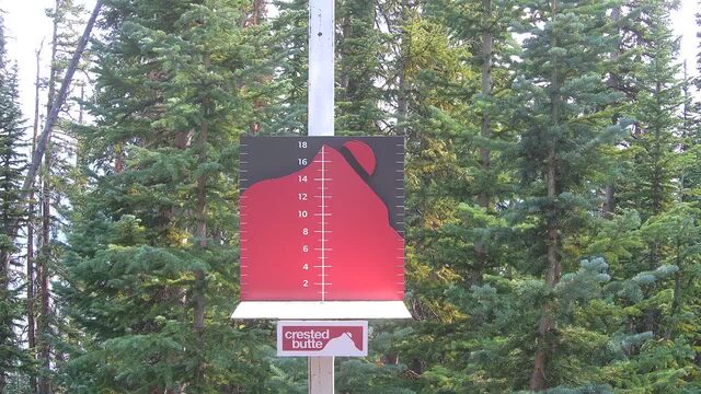
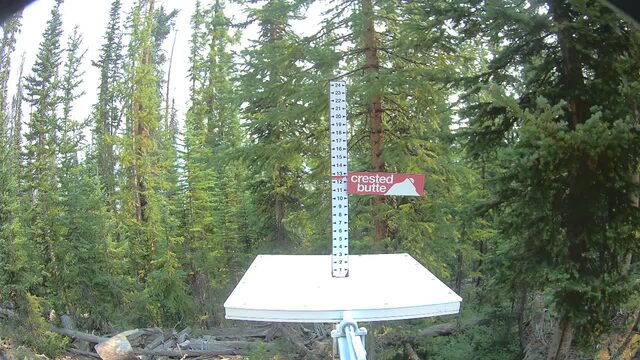
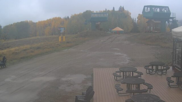
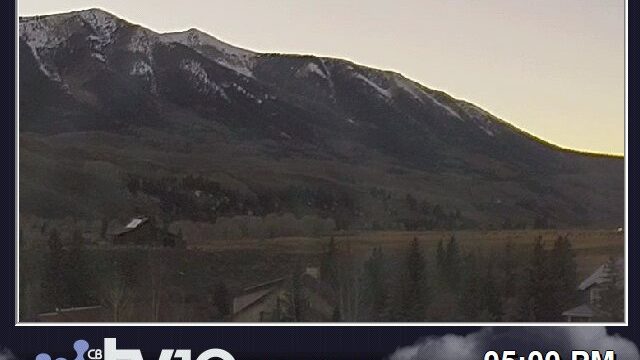
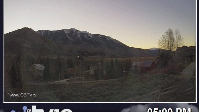
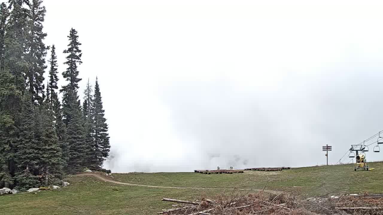
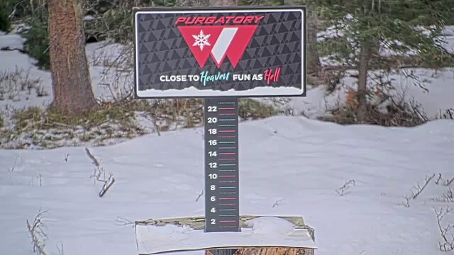
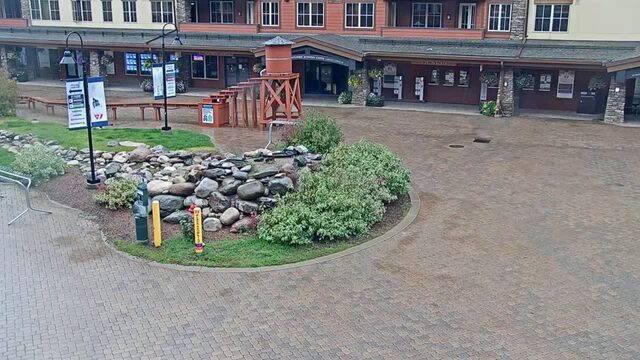
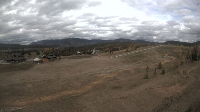
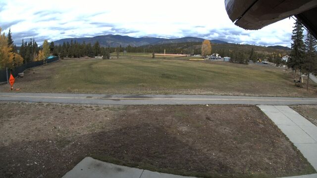
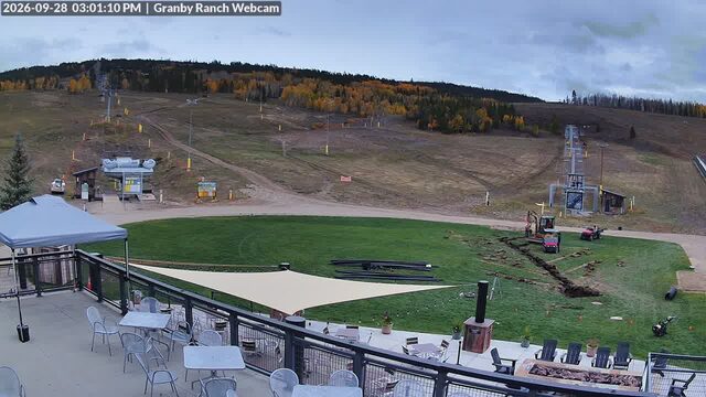
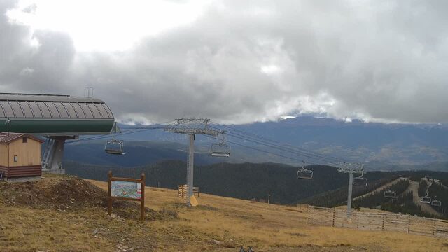
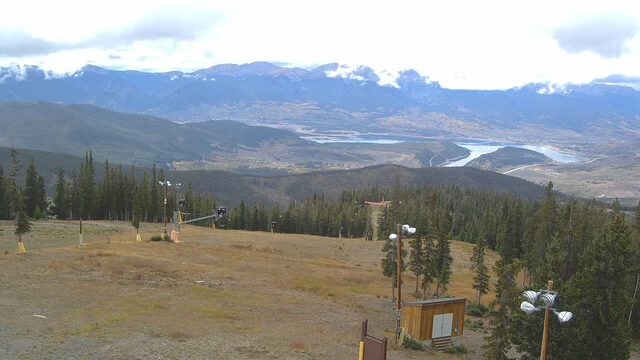
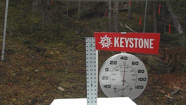
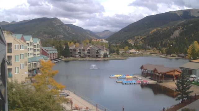
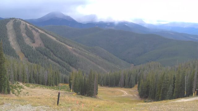
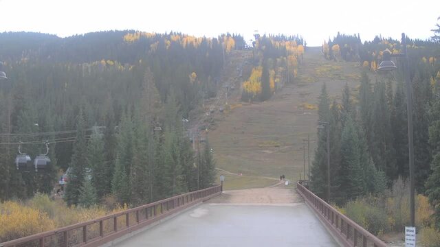
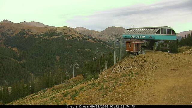
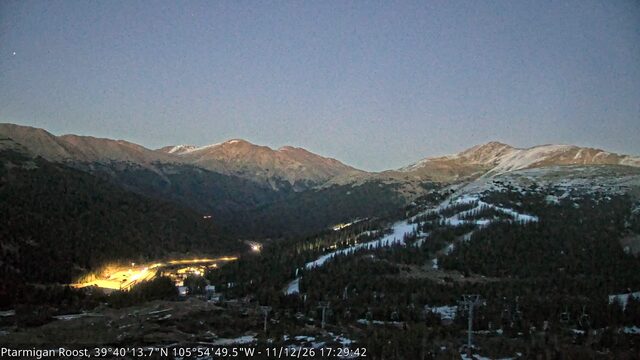

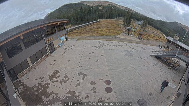
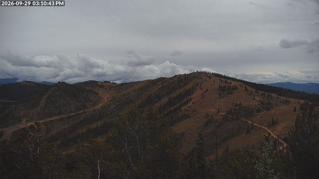
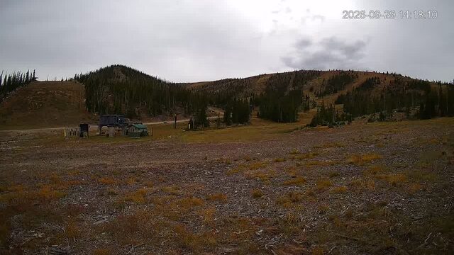
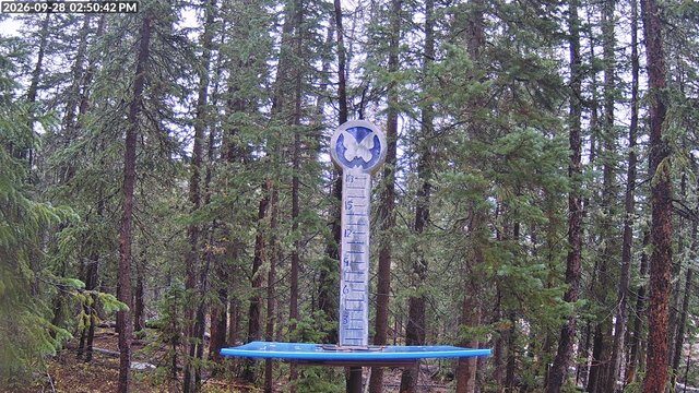
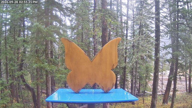
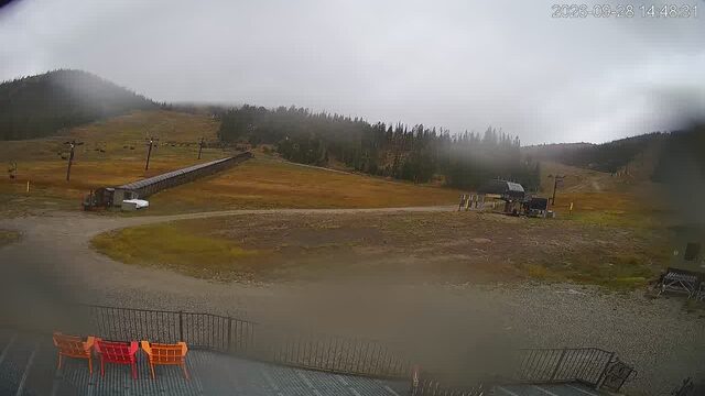
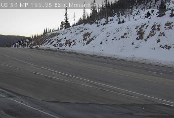
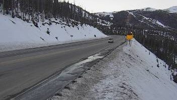
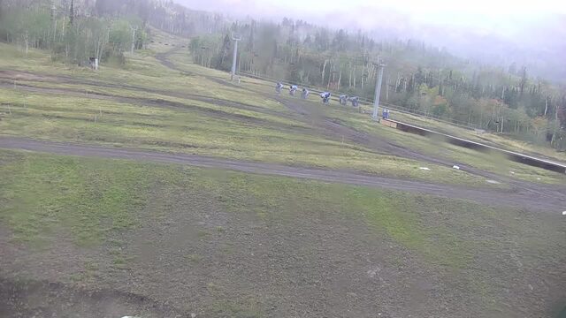
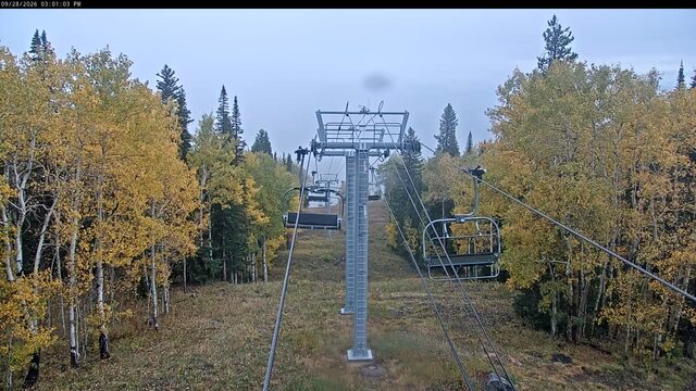
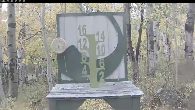
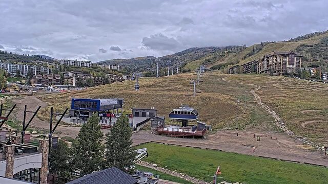
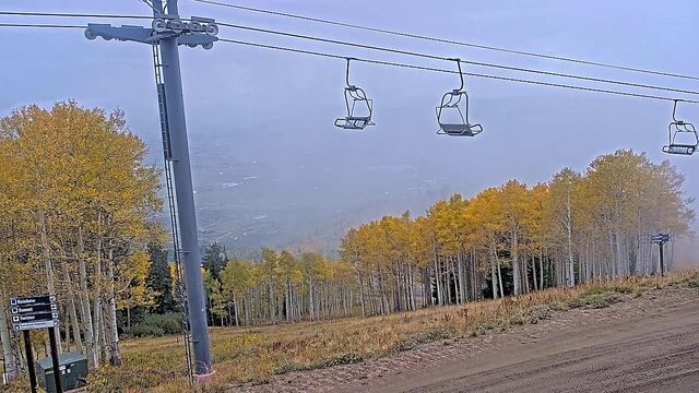
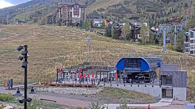
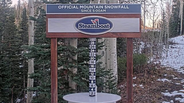
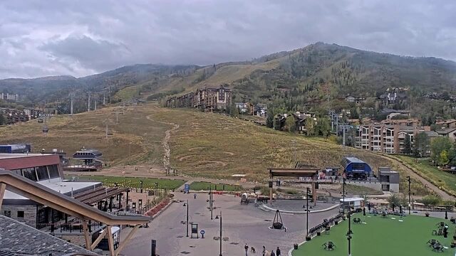
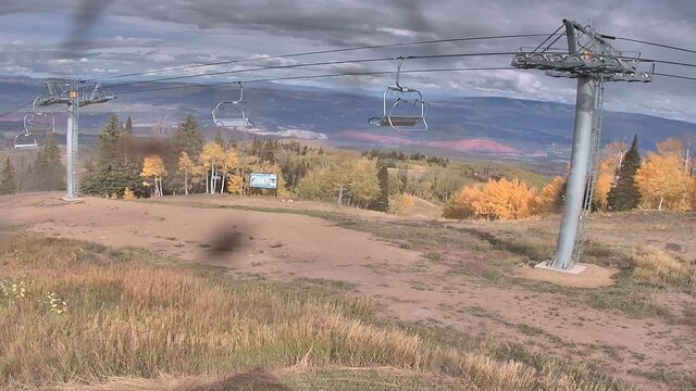
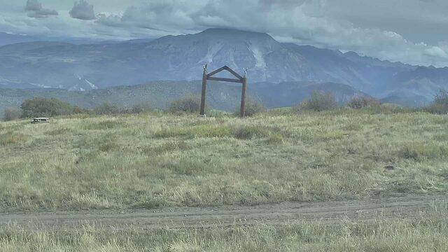
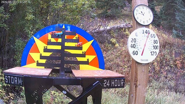
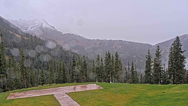
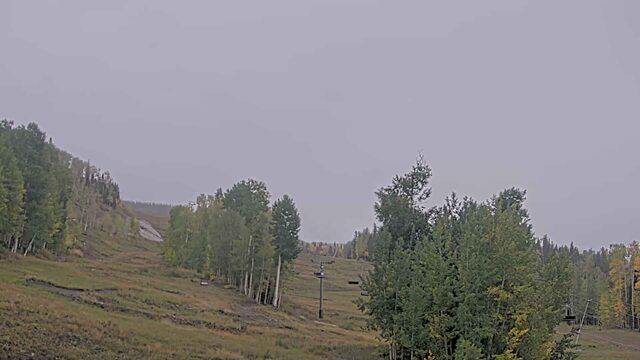
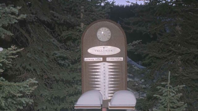
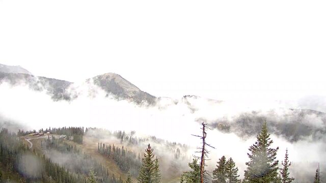
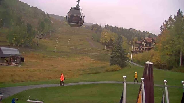
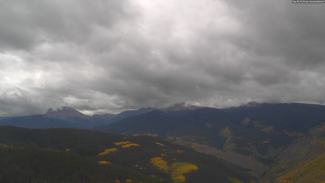
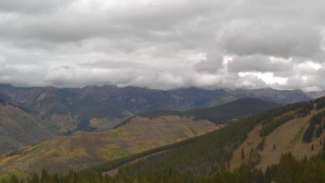

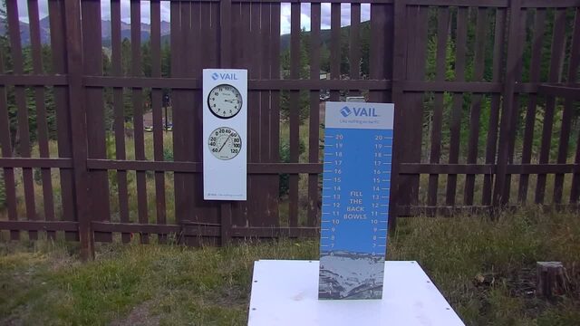
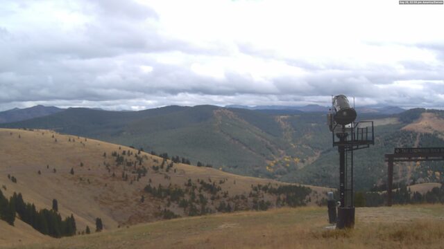
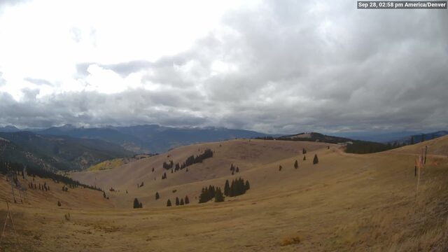
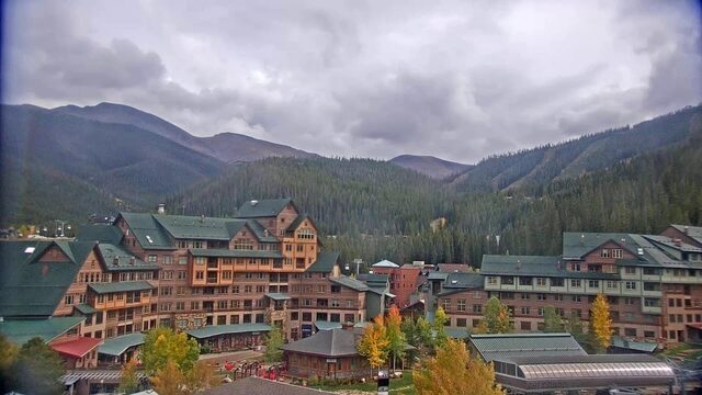
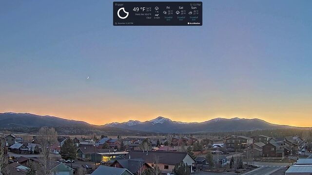
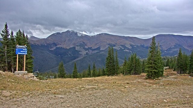
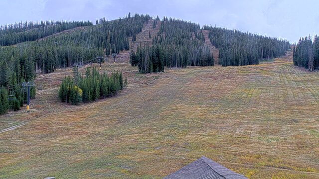
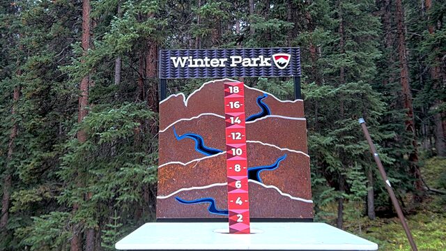
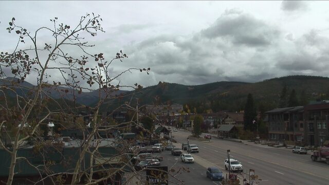
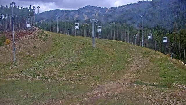
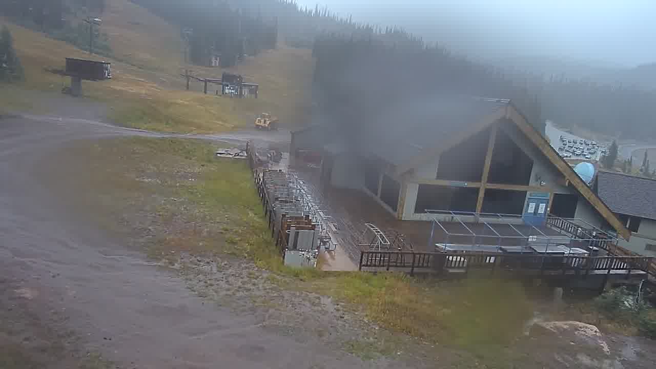
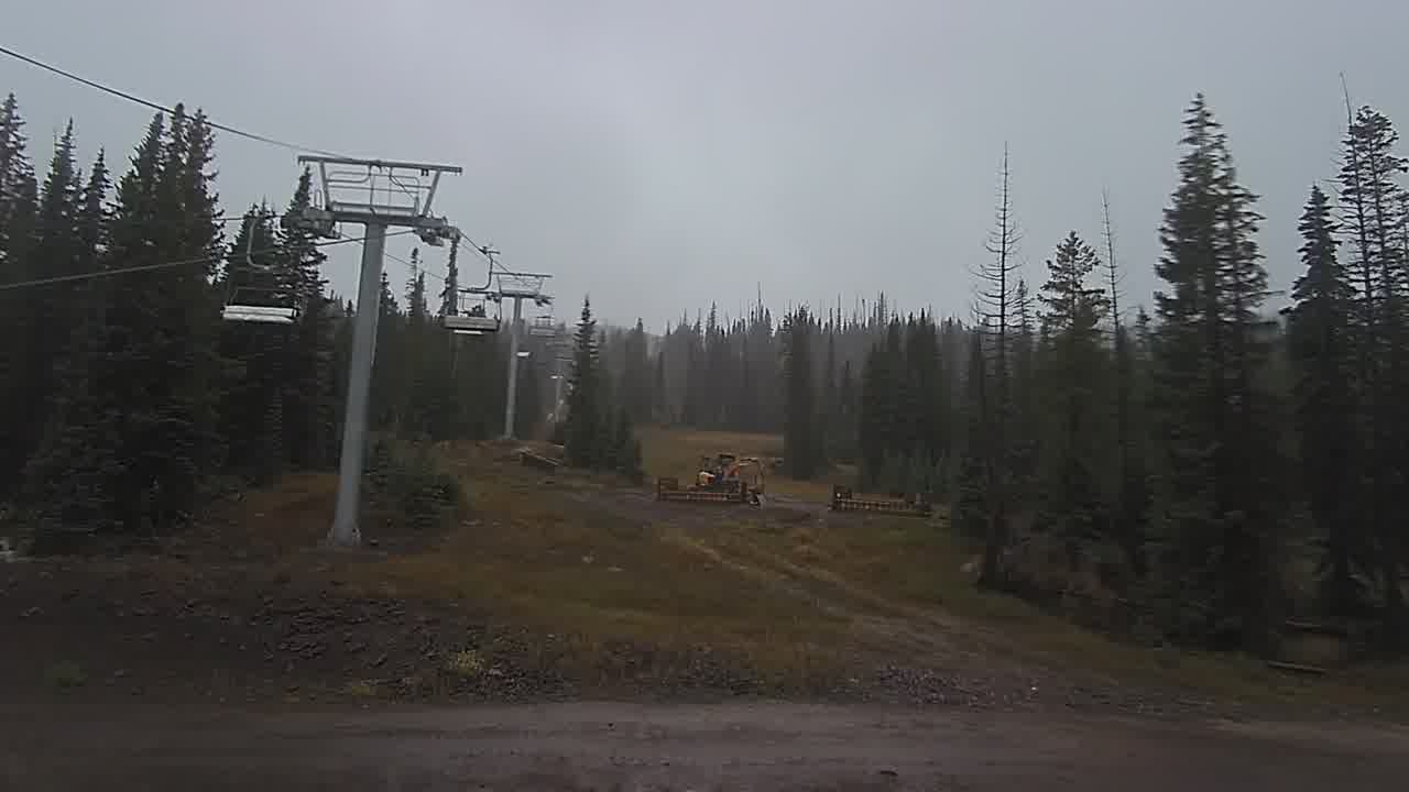
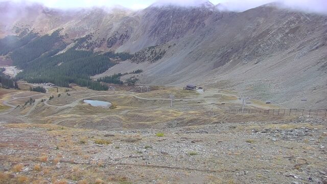
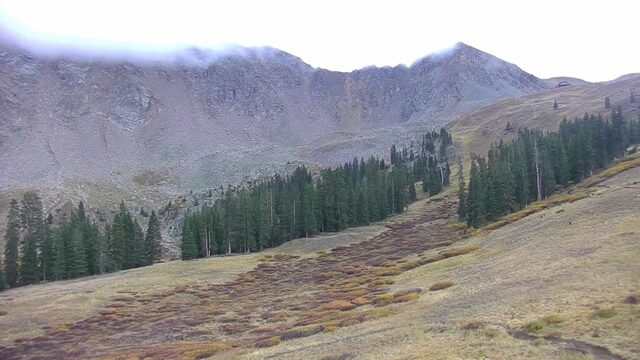
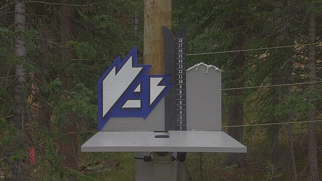
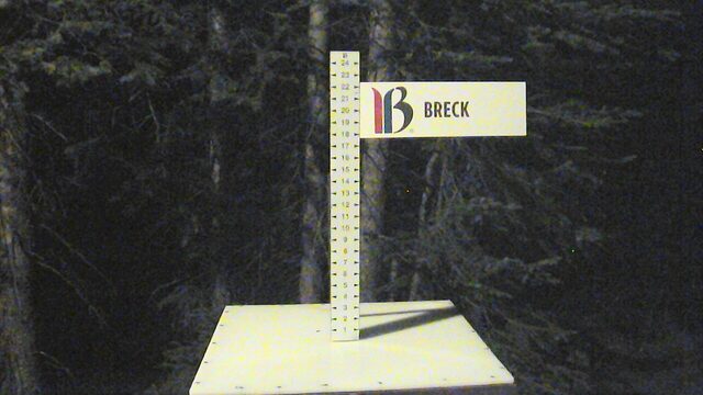

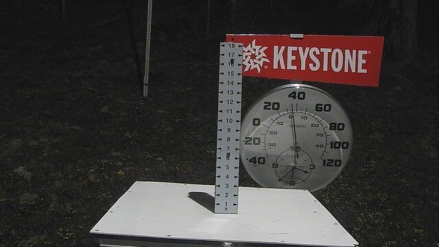
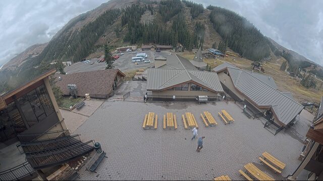
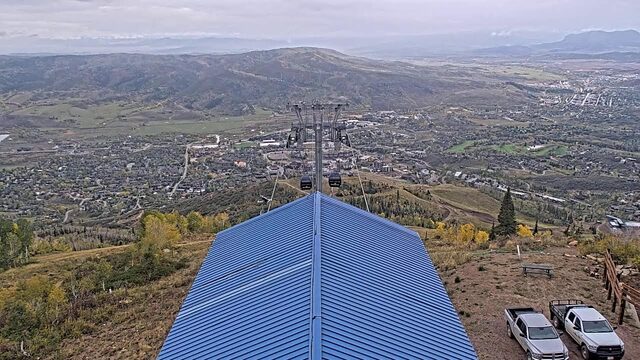
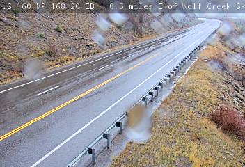
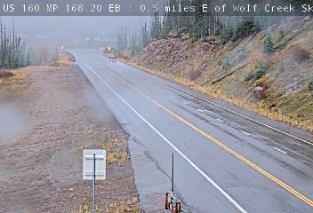
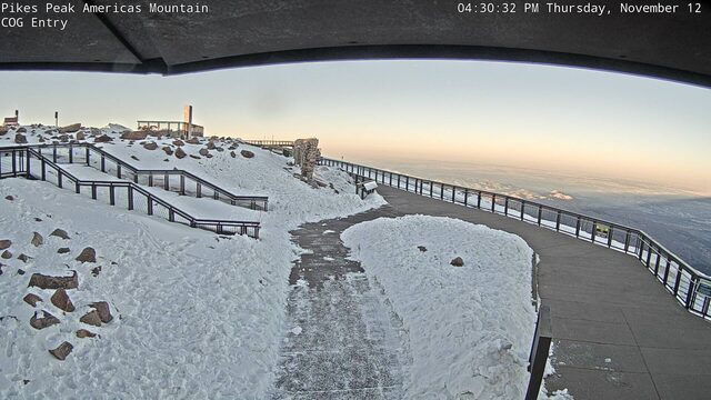
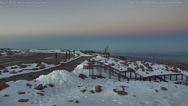
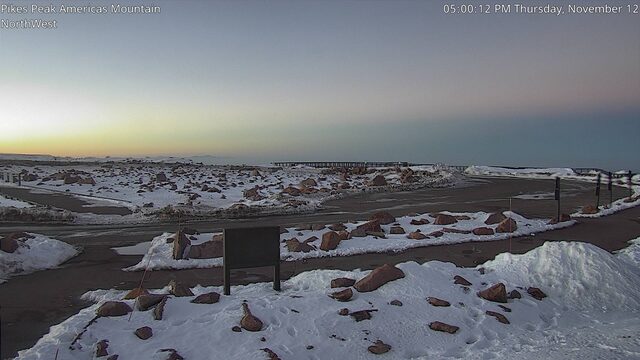
SnowFactor rates how likely snow is at the top of each resort over the next 24 hours, from 0 to 10. It is SnowGrabber's own calculation, built from NWS forecast data and each mountain's height. 7 or more: snow likely up high. 0: not this time.
MakeFactor rates the snowmaking window at each resort's base area each night, 6 pm to 9 am, from 0 to 10. It counts the hours at 28°F wet bulb or colder and how cold they get: 7 or more is prime, 4 to 6 good, 1 to 3 marginal. It says the weather allows snowmaking, not that a resort is making snow. SnowGrabber's own calculation, from Open-Meteo hourly wet bulb.
Pikes Peak summit images: City of Colorado Springs -- Pikes Peak Cameras, via LiveObservatory. Resort weather is modelled (Open-Meteo), not measured. Maps and satellite are copies of NWS and NOAA images, refreshed every 30 minutes. The freezing level and snow level are roughly where rain turns to snow. The cams show what actually happened.