StormWatcher New Mexico storm cams and snow line
| Resort | Weather nowat the top | Freezing levelnow | Lowest snow next 24 hNWS forecast | SG SnowFactorSnowFactor rates how likely snow is at the top of each resort over the next 24 hours, from 0 to 10. It is SnowGrabber's own calculation, built from NWS forecast data and each mountain's height. 7 or more: snow likely up high. 0: not this time.next 24 h | SG MakeFactorMakeFactor rates the snowmaking window at each resort's base area each night, 6 pm to 9 am, from 0 to 10. It counts the hours at 28°F wet bulb or colder and how cold they get: 7 or more is prime, 4 to 6 good, 1 to 3 marginal. It says the weather allows snowmaking, not that a resort is making snow. SnowGrabber's own calculation, from Open-Meteo hourly wet bulb.tonight | Snow last 24 hat the top | Snow next 24 hNWS forecast |
|---|---|---|---|---|---|---|---|
| Santa Fetop 12,075 ft | 30°FClear | Summit above the freezing level: below freezing from 11,000 ft up, cold enough for snow up top.11,000 ft | Snow level drops below the base in the next 24 hours, to 6,200 ft: cold enough for snow top to bottom.6,200 ft | 7 | 7 | – | Snow 3.1 inbase snow 2.8 in |
| Sipaputop 9,255 ft | 44°FClear | Summit below the freezing level: above freezing all the way to the top, rain if anything falls.11,100 ft | Snow level drops below the base in the next 24 hours, to 6,300 ft: cold enough for snow top to bottom.6,300 ft | 7 | 3 | – | Snow 2.2 inbase snow 2.0 in |
| Red Rivertop 10,350 ft | 36°FClear | Summit below the freezing level: above freezing all the way to the top, rain if anything falls.10,800 ft | Snow level drops below the base in the next 24 hours, to 6,300 ft: cold enough for snow top to bottom.6,300 ft | 6 | 3 | – | Snow 1.8 inbase snow 1.1 in |
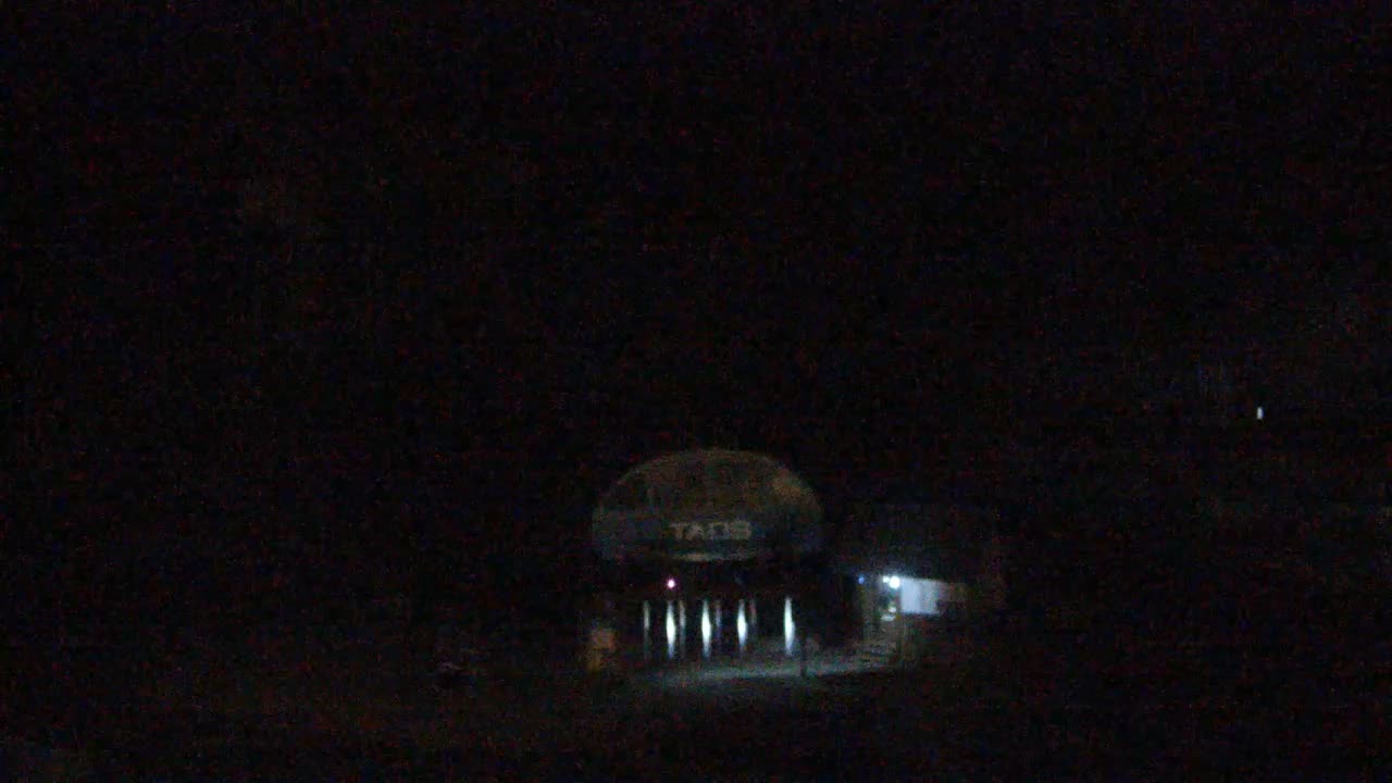
| Taostop 12,481 ft | 26°FClear | Summit above the freezing level: below freezing from 10,600 ft up, cold enough for snow up top.10,600 ft | Snow level drops below the base in the next 24 hours, to 6,300 ft: cold enough for snow top to bottom.6,300 ft | 6 | 1 | – | Snow 2.1 inbase snow 1.9 in |
| Angel Firetop 10,677 ft | 38°FClear | Summit below the freezing level: above freezing all the way to the top, rain if anything falls.11,100 ft | Snow level drops below the base in the next 24 hours, to 6,400 ft: cold enough for snow top to bottom.6,400 ft | 5 | 2 | – | Snow 1.0 inbase snow 0.9 in |
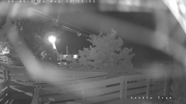
| Sandiatop 10,378 ft | 38°FClear | Summit below the freezing level: above freezing all the way to the top, rain if anything falls.10,800 ft | Snow level drops below the base in the next 24 hours, to 6,000 ft: cold enough for snow top to bottom.6,000 ft | 5 | 9 | – | Snow 2.0 in |
| Pajaritotop 10,440 ft | 37°FClear | Summit below the freezing level: above freezing all the way to the top, rain if anything falls.10,700 ft | Snow level drops below the base in the next 24 hours, to 5,700 ft: cold enough for snow top to bottom.5,700 ft | 4 | 1 | – | Snow 0.5 in |
| Apachetop 11,500 ft | 34°FClear | Summit below the freezing level: above freezing all the way to the top, rain if anything falls.12,600 ft | Snow level drops below the base in the next 24 hours, to 7,800 ft: cold enough for snow top to bottom.7,800 ft | 1 | 1 | – | Dry |
| Enchanted Forest | 37°FClear | 10,600 ft | 6,300 ft | – | Snow 1.9 in |
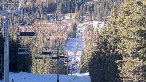 Santa Fe7
Snow 3.1 in next 24 h
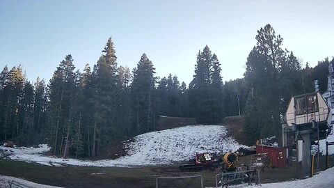 Sipapu7
Snow 2.2 in next 24 h
Taos6
Snow 2.1 in next 24 h
Red River6
Snow 1.8 in next 24 h
Sandia5
Snow 2.0 in next 24 h
Angel Fire5
Snow 1.0 in next 24 h
Pajarito4
Snow 0.5 in next 24 h
Apache1
Enchanted Forest
Snow 1.9 in next 24 h
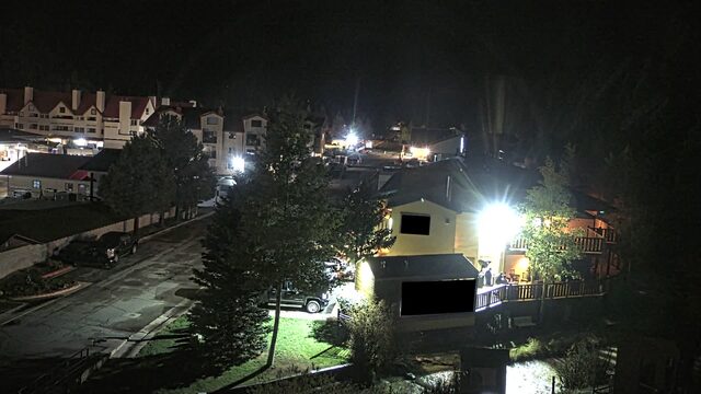
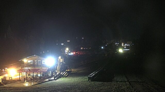
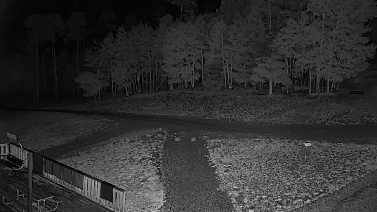
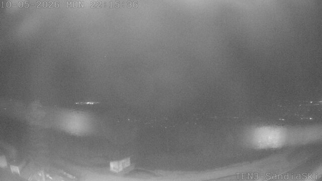
Every cam, snowing resorts first



SnowFactor rates how likely snow is at the top of each resort over the next 24 hours, from 0 to 10. It is SnowGrabber's own calculation, built from NWS forecast data and each mountain's height. 7 or more: snow likely up high. 0: not this time.
MakeFactor rates the snowmaking window at each resort's base area each night, 6 pm to 9 am, from 0 to 10. It counts the hours at 28°F wet bulb or colder and how cold they get: 7 or more is prime, 4 to 6 good, 1 to 3 marginal. It says the weather allows snowmaking, not that a resort is making snow. SnowGrabber's own calculation, from Open-Meteo hourly wet bulb.
Resort weather is modelled (Open-Meteo), not measured. Maps and satellite are copies of NWS and NOAA images, refreshed every 30 minutes. The freezing level and snow level are roughly where rain turns to snow. The cams show what actually happened.