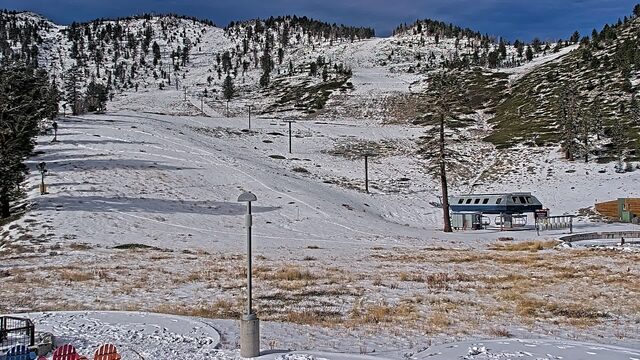
StormWatcher Nevada storm cams and snow line
| Resort | Weather nowat the top | Freezing levelnow | Lowest snow next 24 hNWS forecast | SG SnowFactorSnowFactor rates how likely snow is at the top of each resort over the next 24 hours, from 0 to 10. It is SnowGrabber's own calculation, built from NWS forecast data and each mountain's height. 7 or more: snow likely up high. 0: not this time.next 24 h | Snow last 24 hat the top | Snow next 24 hNWS forecast |
|---|---|---|---|---|---|---|
| Diamond Peak Lake Tahoe | 35°FClear | 8,300 ft | 3.0 in | Dry | ||
| Lee Canyon | 41°FMainly Clear | 8,800 ft | – | Dry | ||
| Mt. Rose | 23°FClear | 7,200 ft | 2.5 in | Dry |
Every cam, snowing resorts first


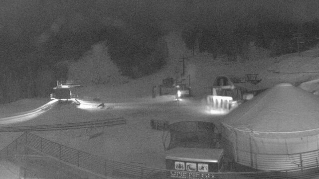
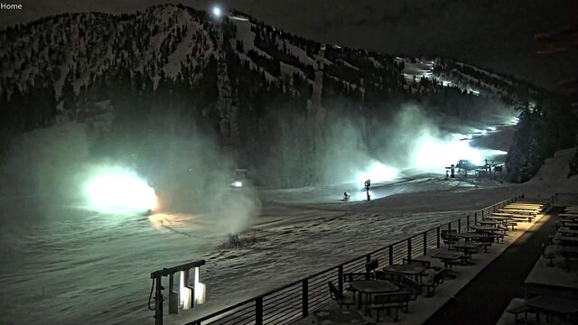
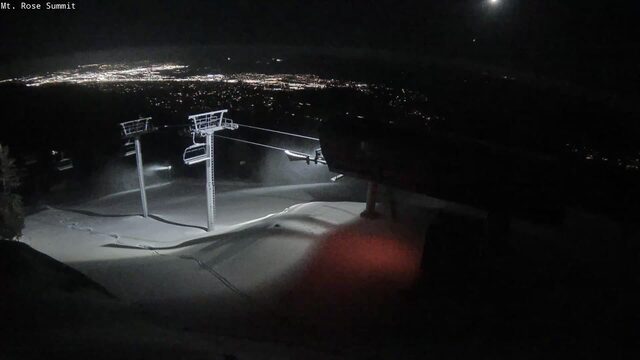
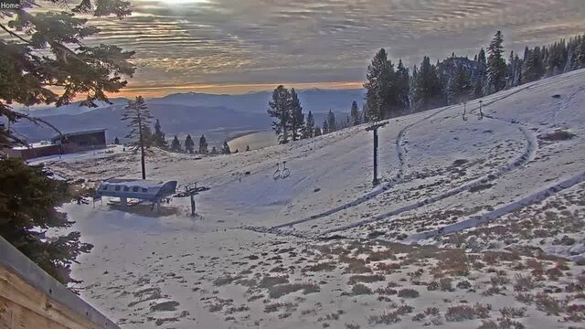
SnowFactor rates how likely snow is at the top of each resort over the next 24 hours, from 0 to 10. It is SnowGrabber's own calculation, built from NWS forecast data and each mountain's height. 7 or more: snow likely up high. 0: not this time.
Resort weather is modelled (Open-Meteo), not measured. Maps and satellite are copies of NWS and NOAA images, refreshed every 30 minutes. The freezing level and snow level are roughly where rain turns to snow. The cams show what actually happened.