Utah StormWatcher
Next 24 hours: 0 ski resorts at SnowFactorSnowFactor rates how likely snow is at the top of each resort over the next 24 hours, from 0 to 10. It is SnowGrabber's own calculation, built from NWS forecast data and each mountain's height. 7 or more: snow likely up high. 0: not this time. 7 or more
64 cams below, snowing resorts first. The page refreshes every 15 minutes.
Driving I-70, I-80, I-84 or US 6? I-70 RoadWatcher · I-80 RoadWatcher · I-84 RoadWatcher · US 6 RoadWatcher: weather and cams along the route.
| Resort | Top | Nowat top | Freezing level now | NWS snow level, next 24 h | SnowFactorSnowFactor rates how likely snow is at the top of each resort over the next 24 hours, from 0 to 10. It is SnowGrabber's own calculation, built from NWS forecast data and each mountain's height. 7 or more: snow likely up high. 0: not this time. | MakeFactorMakeFactor rates the snowmaking window at each resort's base area each night, 6 pm to 9 am, from 0 to 10. It counts the hours at 28°F wet bulb or colder and how cold they get: 7 or more is prime, 4 to 6 good, 1 to 3 marginal. It says the weather allows snowmaking, not that a resort is making snow. SnowGrabber's own calculation, from Open-Meteo hourly wet bulb.tonight | Snow, last 24 htop · base | Next 24 htop · base |
|---|---|---|---|---|---|---|---|---|
| Alta | 10,550 ft | 49°F Overcast | 15,000 ft summit below | lowest 12,300 ft above top | 0 | Drybase dry | ||
| Beaver Mountain | 8,800 ft | 54°F Overcast | 14,900 ft summit below | lowest 12,100 ft above top | 0 | Drybase dry | ||
| Brian Head | 10,920 ft | 44°F Clear | 15,100 ft summit below | lowest 12,400 ft above top | 0 | Rain 0.05 inbase dry | ||
| Brighton Mountain Resort | 10,500 ft | 49°F Overcast | 15,000 ft summit below | lowest 12,400 ft above top | 0 | Drybase dry | ||
| Deer Valley | 9,570 ft | 54°F Overcast | 15,000 ft summit below | lowest 12,400 ft above top | 0 | Drybase dry | ||
| Eden Valley | 68°F Overcast | 15,100 ft | lowest 12,200 ft | Dry | ||||
| Nordic Valley | 7,060 ft | 64°F Overcast | 15,100 ft summit below | lowest 12,200 ft above top | 0 | Drybase dry | ||
| Park City | 10,026 ft | 51°F Overcast | 15,000 ft summit below | lowest 12,400 ft above top | 0 | Drybase dry | ||
| Powder | 8,900 ft | 56°F Overcast | 15,000 ft summit below | lowest 12,300 ft above top | 0 | Drybase dry | ||
| Snowbasin | 9,350 ft | 54°F Overcast | 15,000 ft summit below | lowest 12,300 ft above top | 0 | Drybase dry | ||
| Snowbird | 11,000 ft | 47°F Overcast | 15,000 ft summit below | lowest 12,300 ft above top | 0 | Drybase dry | ||
| Solitude | 10,488 ft | 49°F Overcast | 15,000 ft summit below | lowest 12,400 ft above top | 0 | Drybase dry | ||
| Sundance | 8,250 ft | 58°F Overcast | 15,000 ft summit below | lowest 12,300 ft above top | 0 | Drybase dry | ||
| Woodward Park City | 6,840 ft | 62°F Overcast | 15,100 ft summit below | lowest 12,400 ft above top | 0 | Drybase dry |
Every cam, snowing resorts first
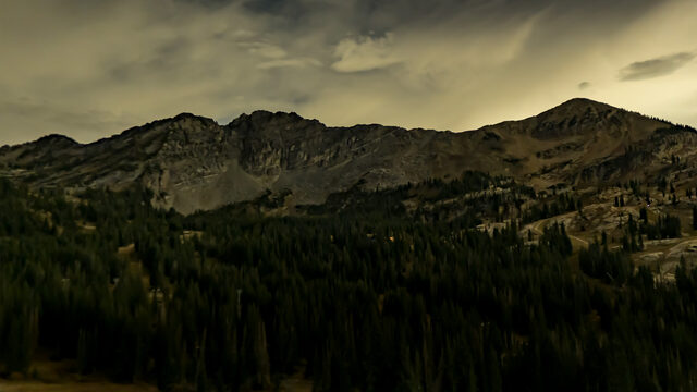

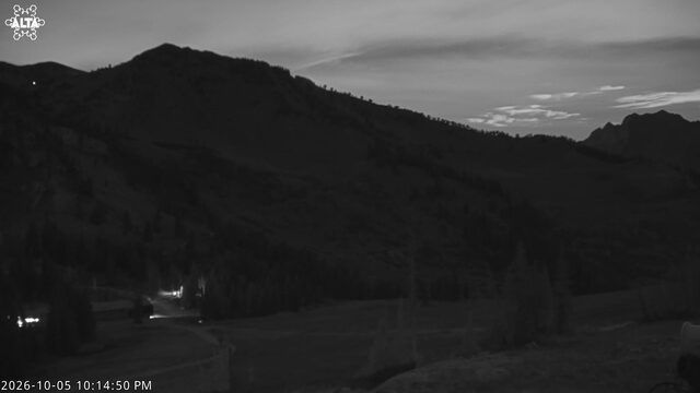
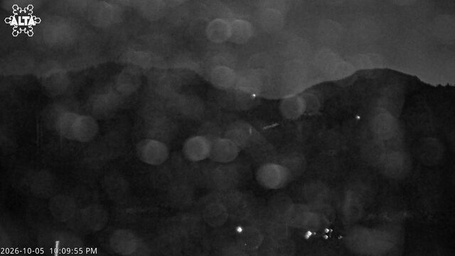
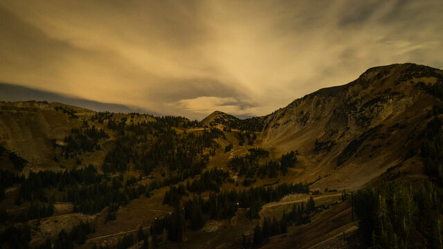
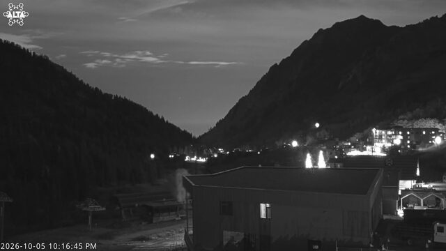
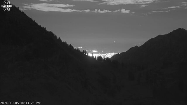
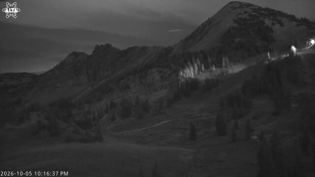
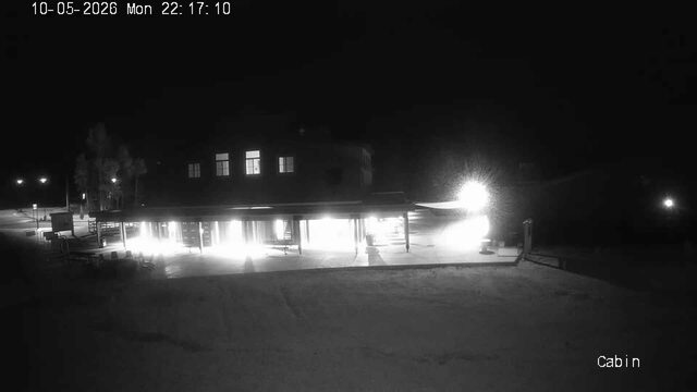
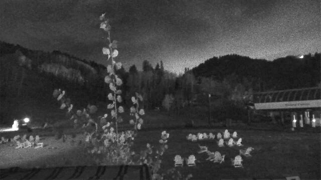
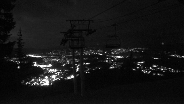
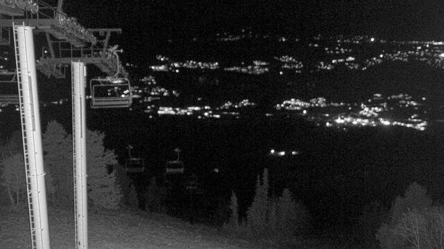
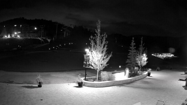
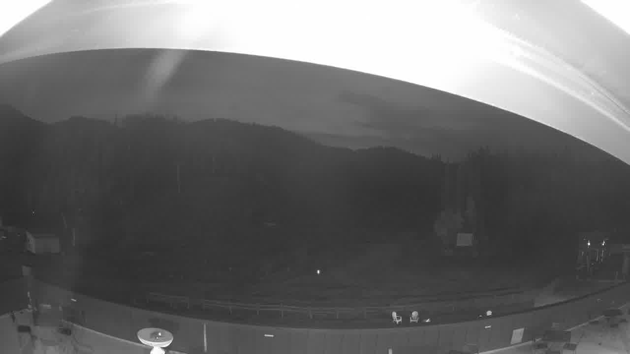
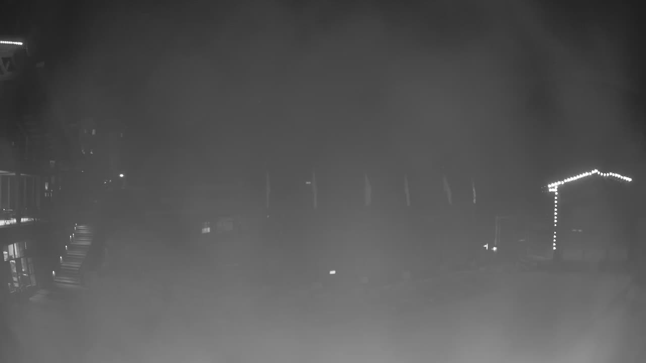

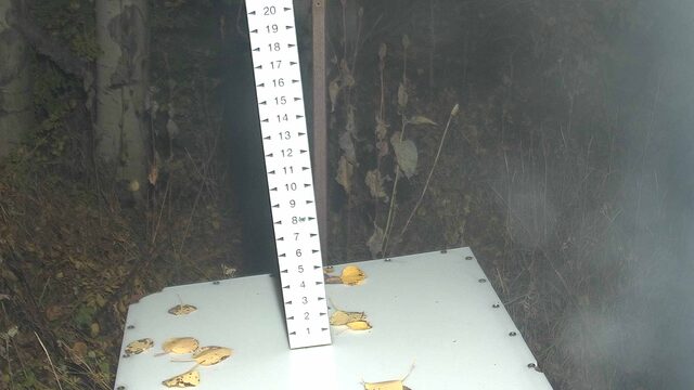

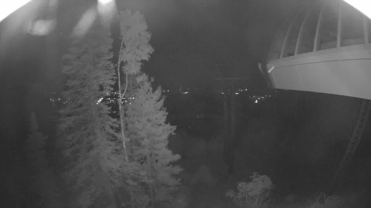
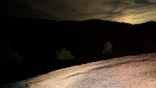
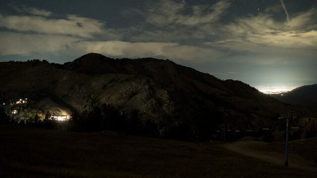


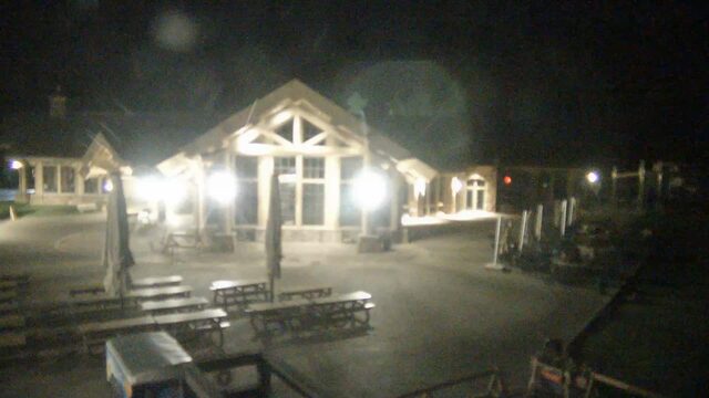
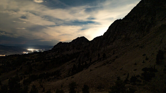

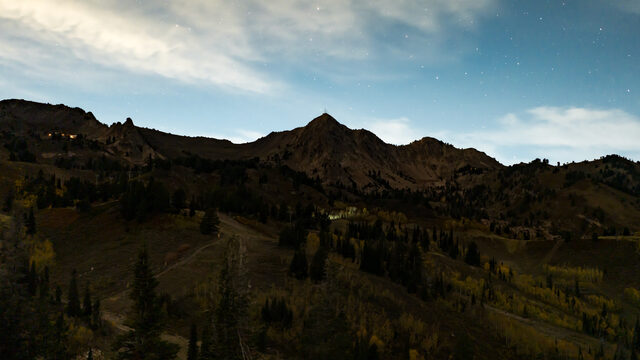
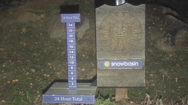



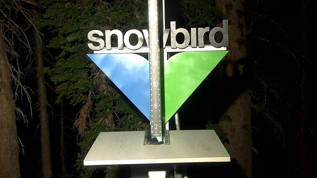

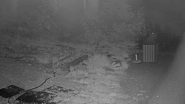

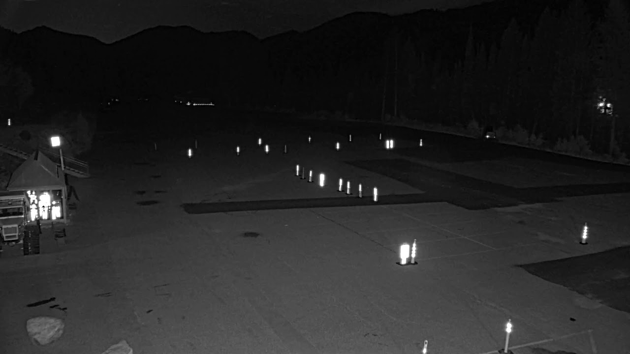

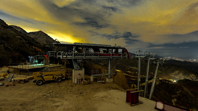
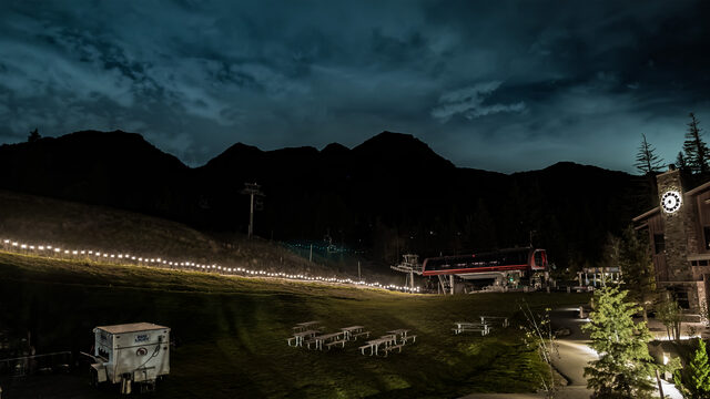
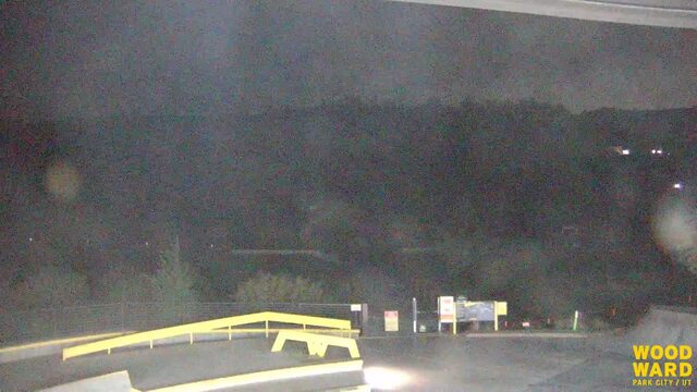
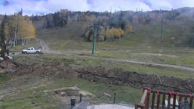
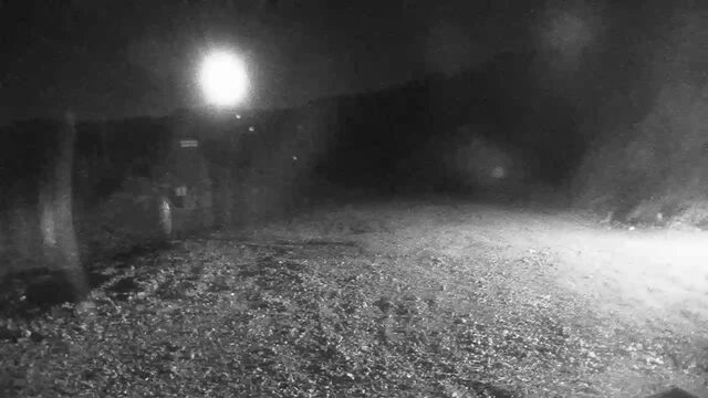
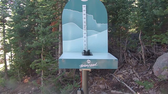
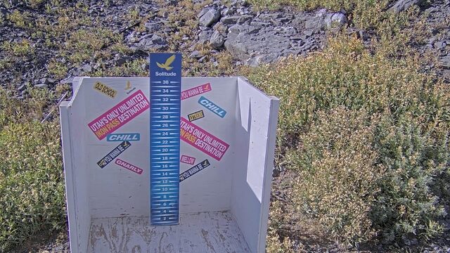
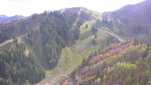
SnowFactor rates how likely snow is at the top of each resort over the next 24 hours, from 0 to 10. It is SnowGrabber's own calculation, built from NWS forecast data and each mountain's height. 7 or more: snow likely up high. 0: not this time.
MakeFactor rates the snowmaking window at each resort's base area each night, 6 pm to 9 am, from 0 to 10. It counts the hours at 28°F wet bulb or colder and how cold they get: 7 or more is prime, 4 to 6 good, 1 to 3 marginal. It says the weather allows snowmaking, not that a resort is making snow. SnowGrabber's own calculation, from Open-Meteo hourly wet bulb.
Resort weather is modelled (Open-Meteo), not measured. Maps and satellite are copies of NWS and NOAA images, refreshed every 30 minutes. The freezing level and snow level are roughly where rain turns to snow. The cams show what actually happened.